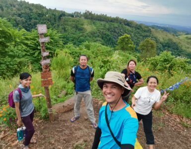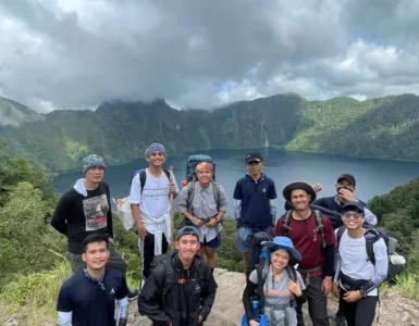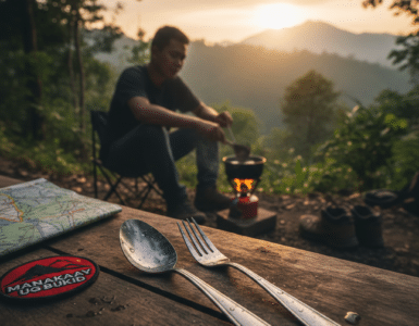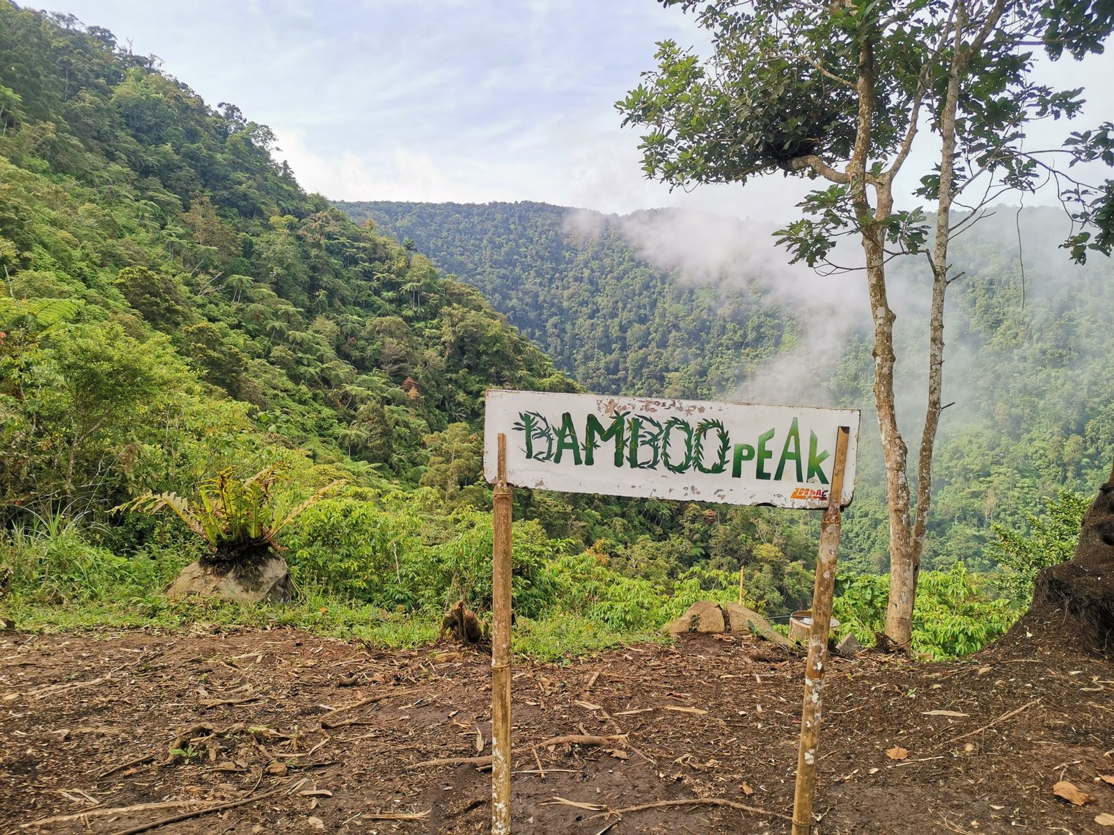
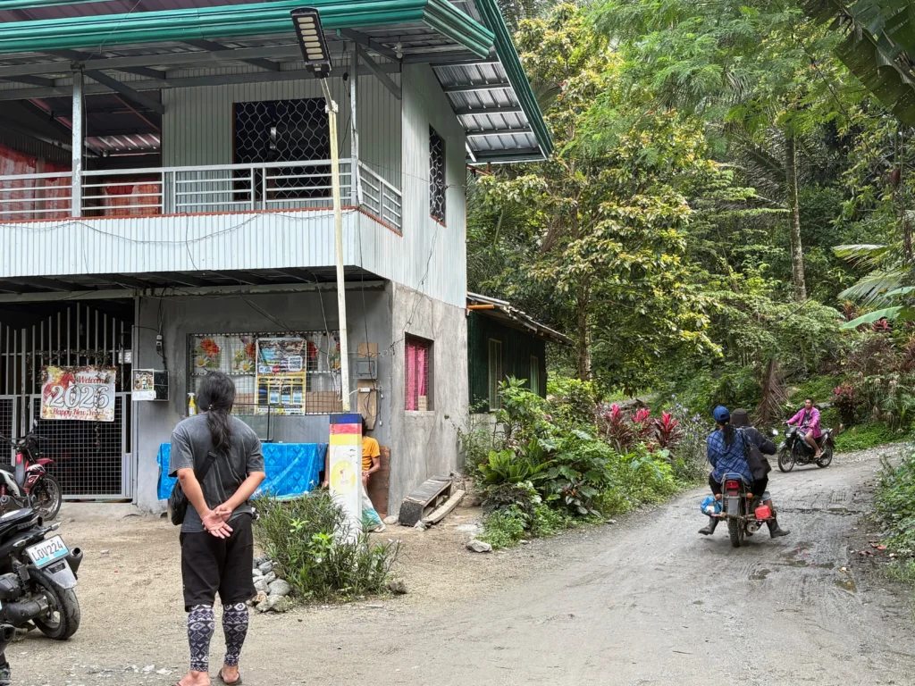
If you are looking for a trail that tests your balance, treats you to a pristine river trek, and rewards you with a staggering skyline panorama, Mt. Pinan-panan in Tupaz, Maragusan, Davao de Oro deserves an immediate spot on your climbing radar.
The mountain owes its unique name to its changing geography. In the local dialect, “Pinan-panan” roughly translates to “paved or carved out to create a road.” This refers to the rugged mountain tracks sliced into the slopes to help local farmers transport fresh highland produce down to the lowlands. While this motorcycle-only road is still small, rough, and inaccessible to larger vehicles, it provides an unflattened, challenging path for foot travelers looking to push their endurance.
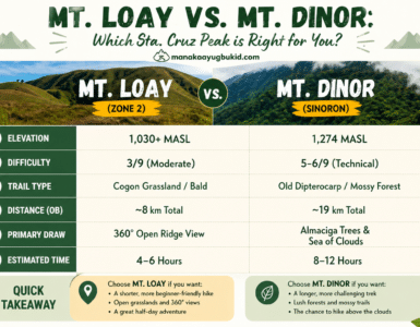
🏔️ Technical Specifications & Quick Intel
| Feature | Details |
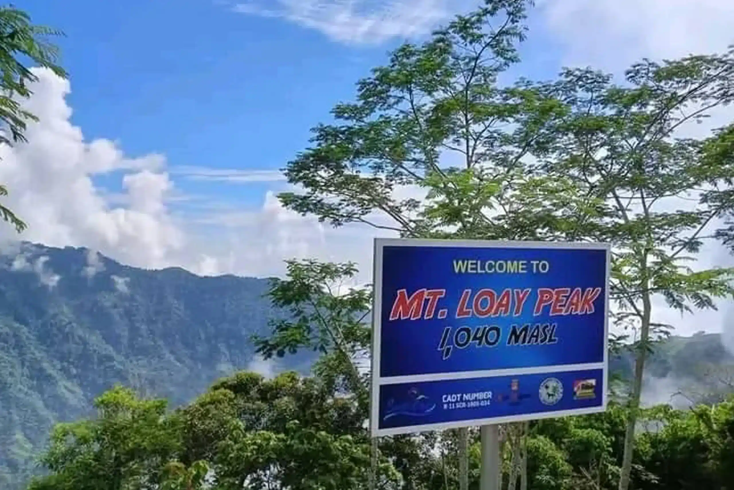
| Elevation | 1,467 meters above sea level (MASL) |
| Trail Distance | 5.32 kilometers |
| Difficulty Rating | 4/9 (Moderate / Technical Tune-up) |
| Location | Tupaz, Maragusan, Davao de Oro, Mindanao |
| Primary Features | 25 river crossings, active farming zones, 3-layered natural pools |
| Target Field | Ideal as a recovery trek or a major climb conditioning run |
🛑 Hiker Advisory: Not For Total Beginners
Due to the combination of dynamic river currents, slippery boulders, and a grueling, unflattened dirt road assault that requires precise footing, Mt. Pinan-panan is not recommended for absolute novices. It is best suited for experienced hikers looking to recover from major multi-day climbs, trail runners practicing technical pacing, or intermediate backpackers preparing for heavy-pack expeditions.
🧭 The Trail Breakdown: From Riverbed to Ridge
         [ Tupaz Jump-off & Main Stream ]
                        │
                        ▼
       [ 25 River Crossings (Keep Packs High) ]
                        │
                        ▼
      [ Caretaker's House (Potable Water / Lunch) ]
                        │
                        ▼
       [ Steep Uphill Dirt Road Assault ]
                        │
                        ▼
     [ Left-Hand Junction (Final Campsite Climb) ]
                        │
                        ▼
           [ Open Skyline Campsite ] ──► [ Forested Summit (30 Mins) ]
                        │
                        ▼
       [ Backtrail Return ──► 3-Layered Natural Pools ]
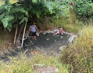
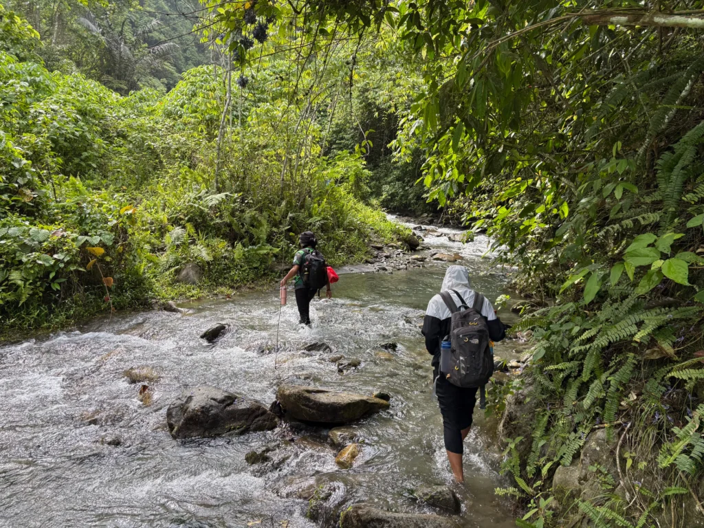
Phase 1: The 25-Crossing River Trek
The journey begins on the valley floor, where multiple small mountain streams merge into a rushing river. You will spend the first two hours navigating a riverbed trail that requires crossing the water approximately 25 times.
- Water Dynamics: When weather conditions are fine, the water is generally shallow and manageable. However, certain deep pockets exist. Finding the most solid, dense parts of the riverbed will help you move faster and keep your gear dry.
- Guide Safety Warning: Always listen to your local guide during this segment. The river margins are natural habitats for local snakes, so watch your hand placement when balancing on overhanging roots or boulders.
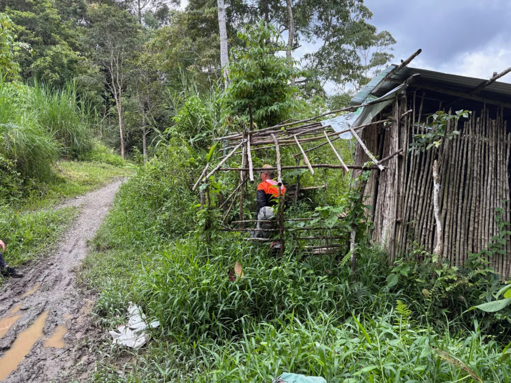
Phase 2: The Caretaker’s Oasis
After roughly two hours of wading through the stream, the trail breaks into a clearing hosting a remote caretaker’s house. This serves as the definitive midpoint rest stop.
- The Highland Farm: The vicinity is flanked by small agricultural plots growing sili (native chilis), tanglad (lemongrass), and wild guavas.
- Hydration: The running water directly from the upper stream source here is clean, cool, and perfectly drinkable—making it the ideal spot to fill your bladders and eat lunch.
Phase 3: The Pinan-panan Road Assault
Past the caretaker’s house, the leisure portion ends. The trail shifts into a continuous, unrelenting uphill climb until you hit the main unpaved motorcycle track. Walking along this unflattened terrain requires constant ankle adjustment and focus due to loose rocks and uneven dirt shelves. Keep moving until you encounter a distinct trail junction; taking the left-hand path launches you up a final, steep vertical assault straight to the campsite.
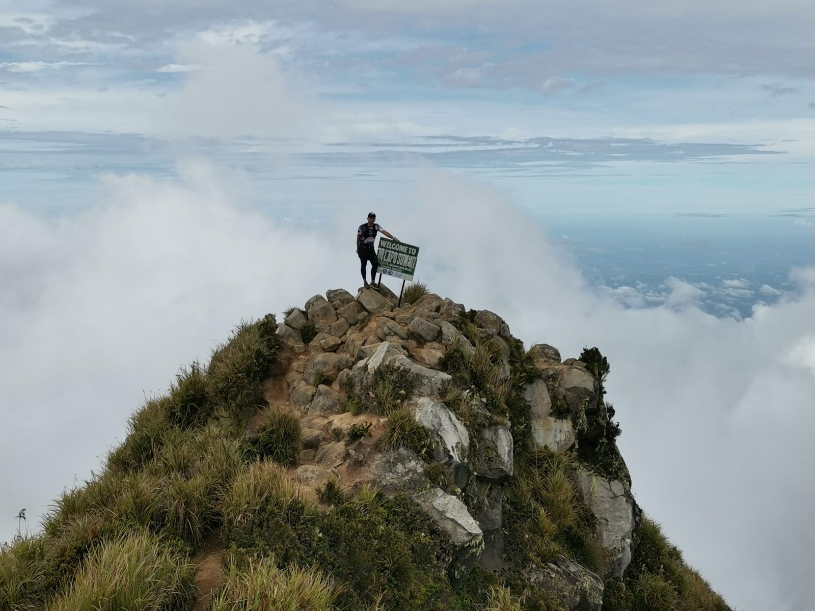
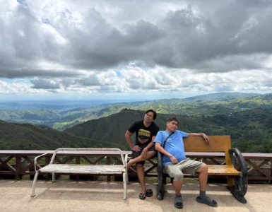
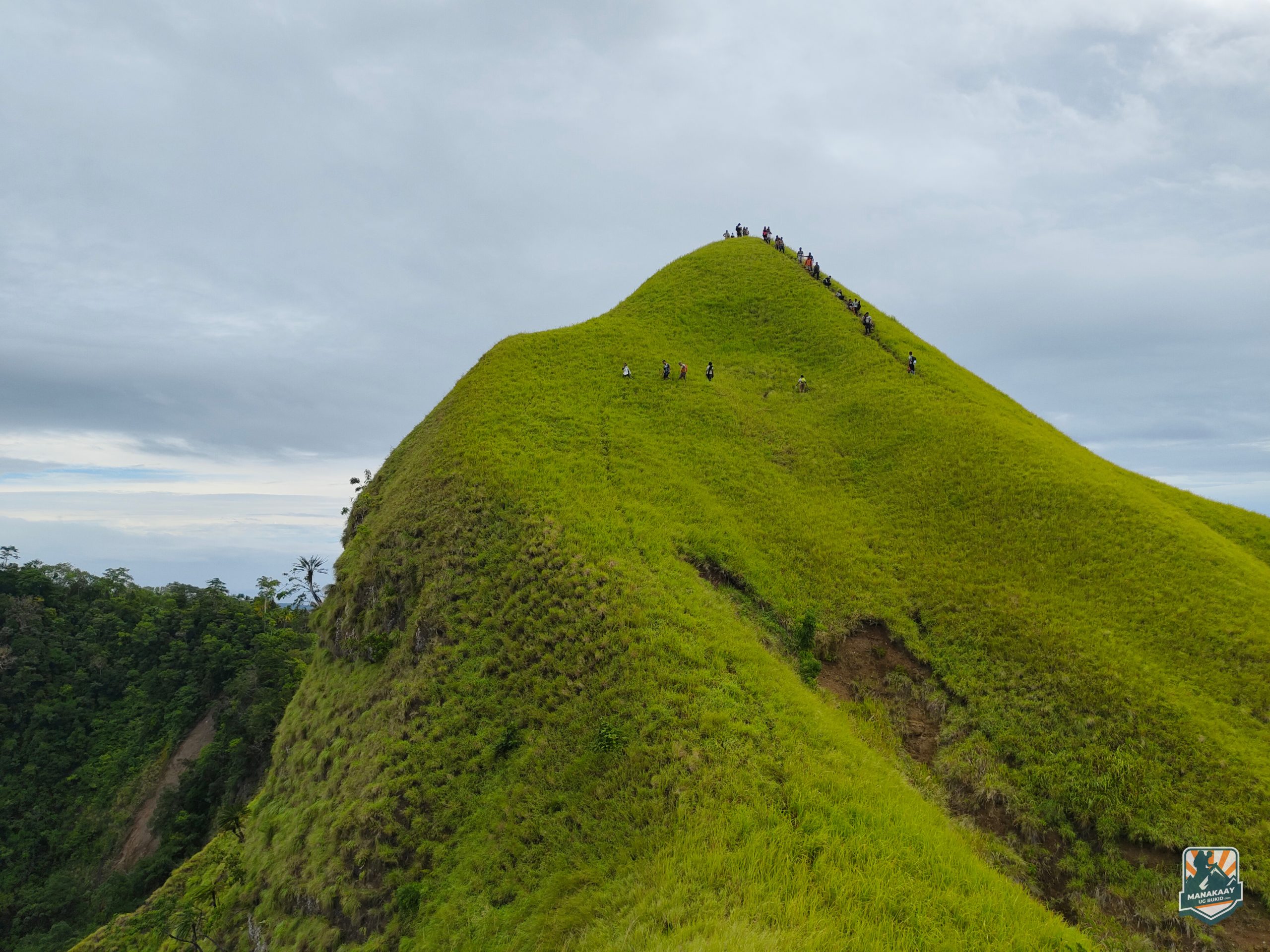
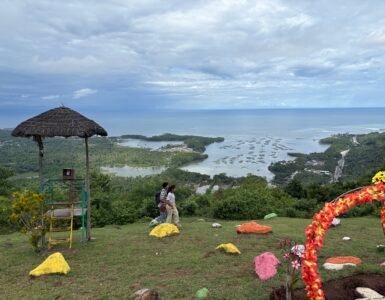
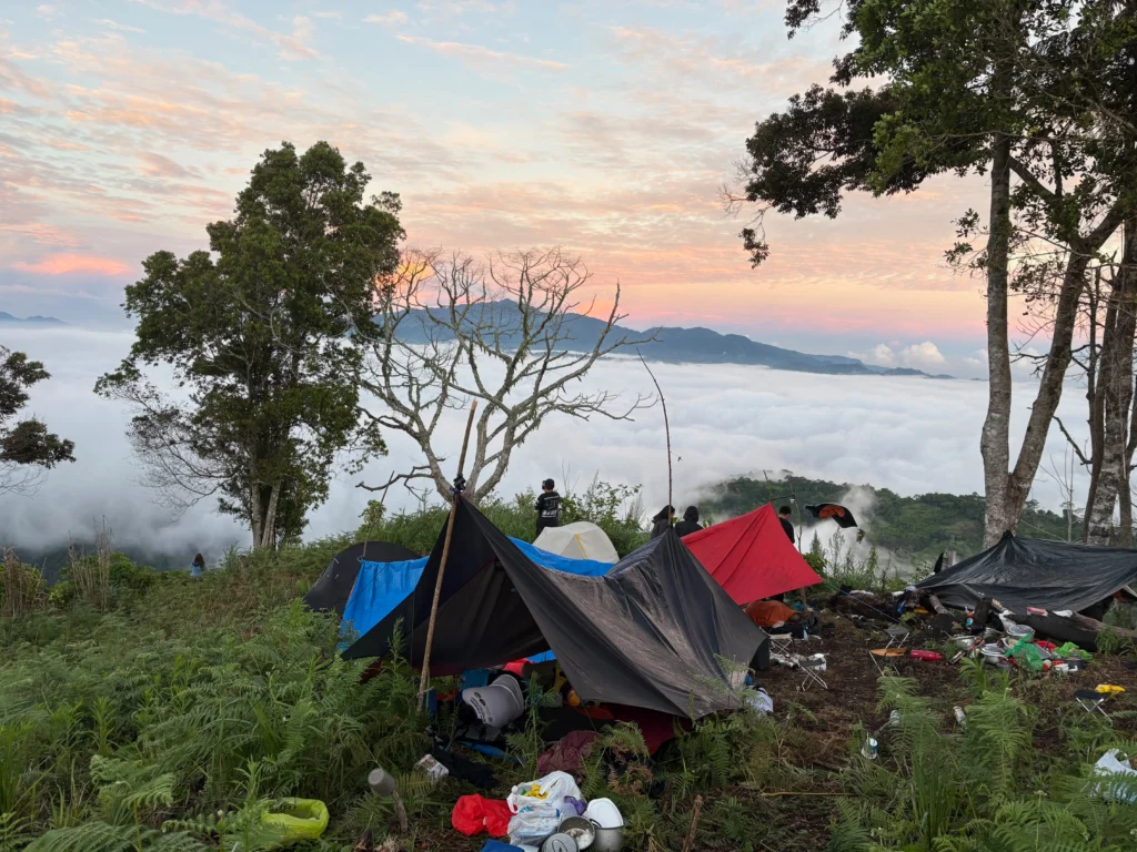
⛺ The Campsite Skyline Portfolio
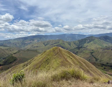
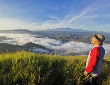
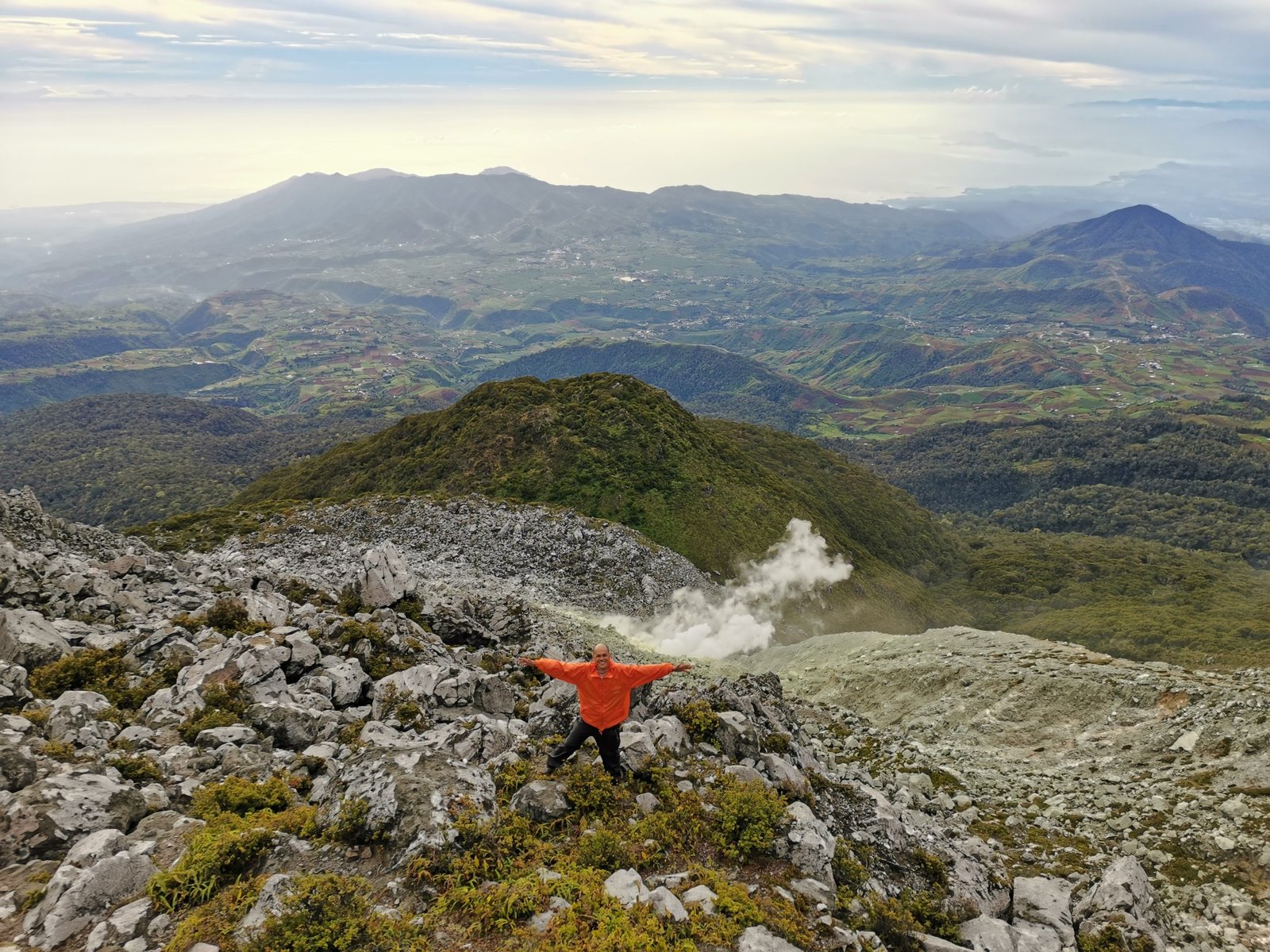
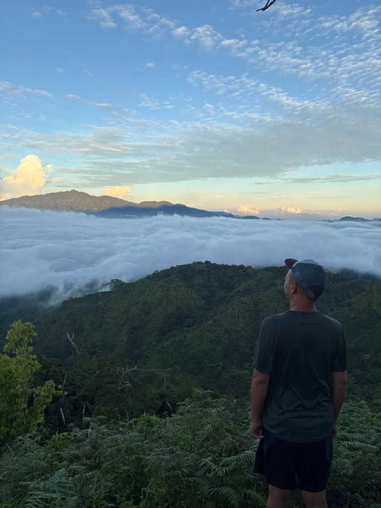
Emerging onto the open campsite reveals a sweeping, high-top viewing area blessed with a serene atmosphere and cool, galloping winds. To help you map your surroundings, here is what you will see from this high altitude vantage point:
- Front View: Mt. Mabugnaw sits directly ahead. Local guides advise that this peak is now largely privately owned and officially closed to public hiking activities.
- Right View: Large, deep cuts of the regional highland mining sectors are visible along the distant ridges.
- Left View: The sharp, formidable peak of Mt. Candalaga guards the western horizon.
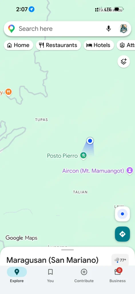
- Rear View: The massive silhouette of Mt. Pandadagsaan (White Peak) towers directly behind you. From this angle, you can also spot a portion of Posto Pierro, another rising hiking destination in the region.
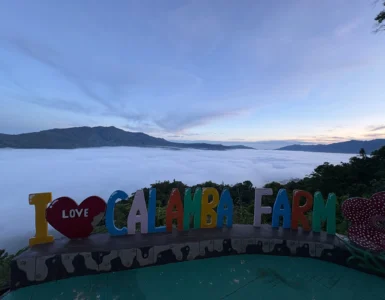
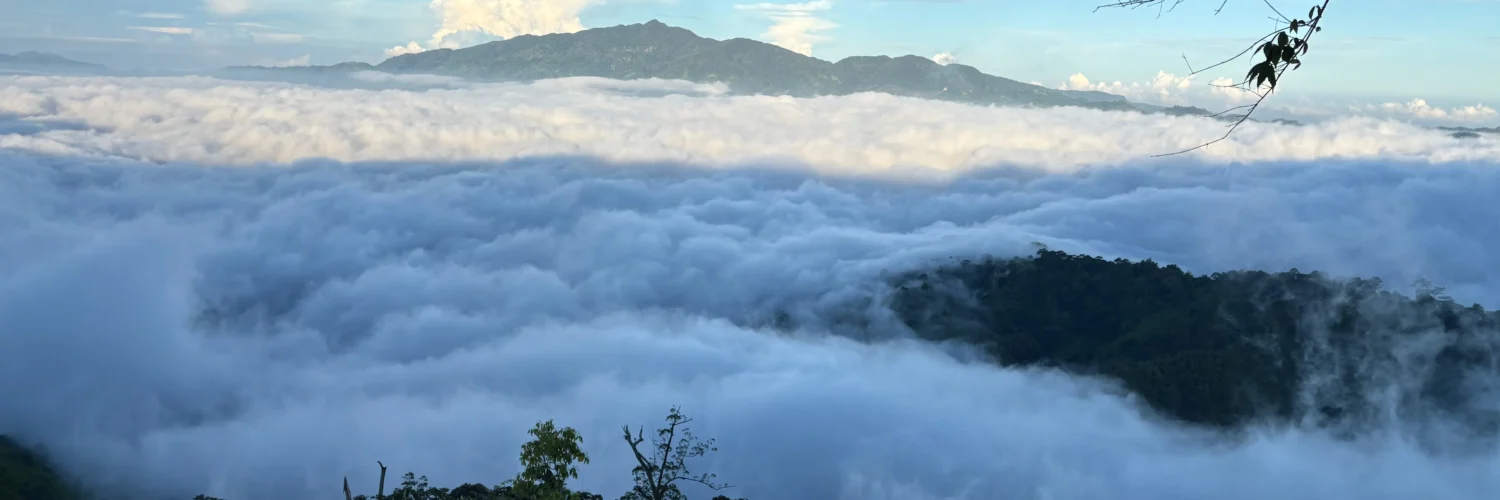
- Below Across: The valley floor hosting the Calamba Sea of Clouds sits directly below across the canyon.
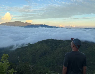
The Volcanic Cloud Osmosis
The true prize of spending the night here is experiencing the sunrise cloud phenomenon. As morning moisture evaporates from the dense forest below, warm air lifts thick white puffballs of mist up into the cold canyon air. This creates a vast, shifting blanket of clouds that rolls over the mountain ridges, occasionally blown through the gaps by the fresh mountain breeze.
🚰 Campsite Water Source Note: The final water source is a small hut situated significantly below the campsite rim. Accessing it requires an intense down-and-up trek on a steep trail, so ensure your team fills their main water containers before making the final camp push.
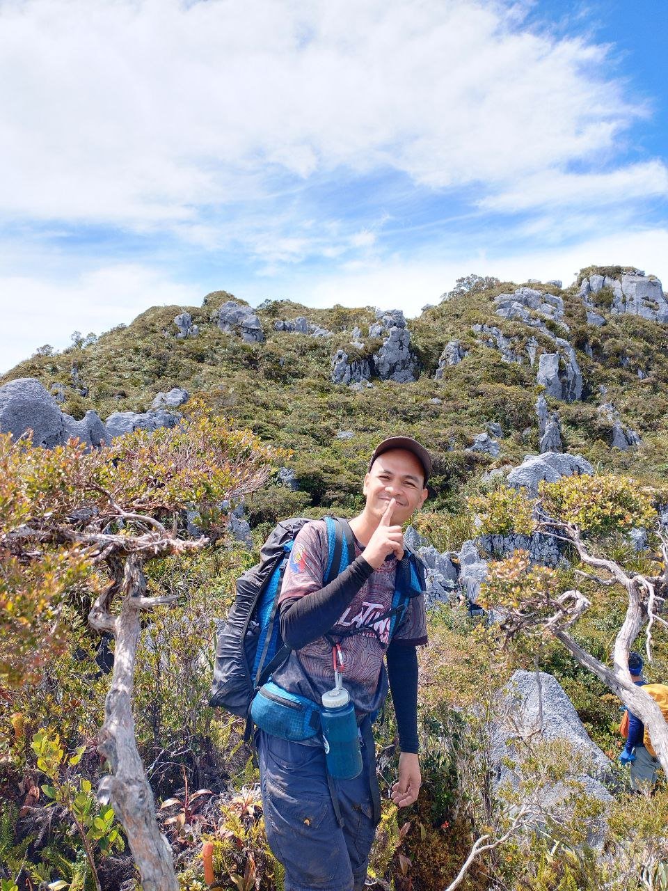
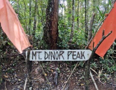
🌳 The Tree-Canopied Peak & Extension Trails
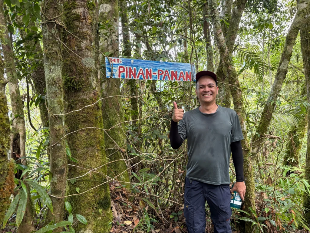
From the open campsite, reaching the official summit takes another 30 minutes of short but steep uphill trekking.
Much like the trail layout of Mt. Dinor, the summit of Mt. Pinan-panan is entirely enclosed by a dense thicket of old-growth forest trees. There are no wide panoramic views at the absolute top—only the structural tree canopy and the official peak signage marker. Keep an eye on the soft forest soil here; local trackers regularly spot fresh footprints and trail signs left by the endangered Philippine Deer.
If your knees are still craving more mileage, the trail continues past the summit marker, leading downward toward Langgawisan—a deep highland interior known for housing a network of untouched peaks and hidden valley views.
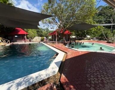
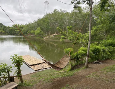
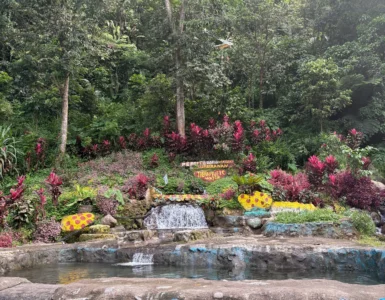
🌊 The Post-Hike Reward: 3-Layered Natural Pools
Once you’ve taken your photos at the peak and enjoyed the early-morning summit views, you will break camp and return via the exact same backtrail.
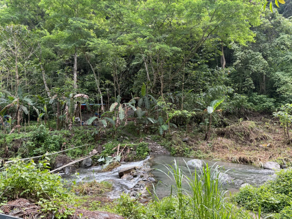
Going down the steep, unflattened roads will undoubtedly shake your knees, but the ultimate reward awaits you at the bottom. Before officially exiting the trail, hikers can take a deep dip into the crisp, cold mountain river.
Recognizing how exhausting the trek can be, the resourceful locals have cleverly engineered about 3 layers of natural pools along the stream beds. These terraced pools allow you to completely submerge your body in the flowing cold water. It is an unmatched way to soothe tired, aching leg muscles, calm your sweating glands, and completely wash away the trail grime before heading home.
🚀 Plan Your Next Staging Point With Us
At Manakaay ug Bukid, we believe every successful highland expedition requires honest logistics and raw trail intel. Whether you are prepping your pack for a weekend day-trip or booking a long-term transit lodge, explore our specialized accommodation directories and trail guides to plan your next outdoor escape safely.