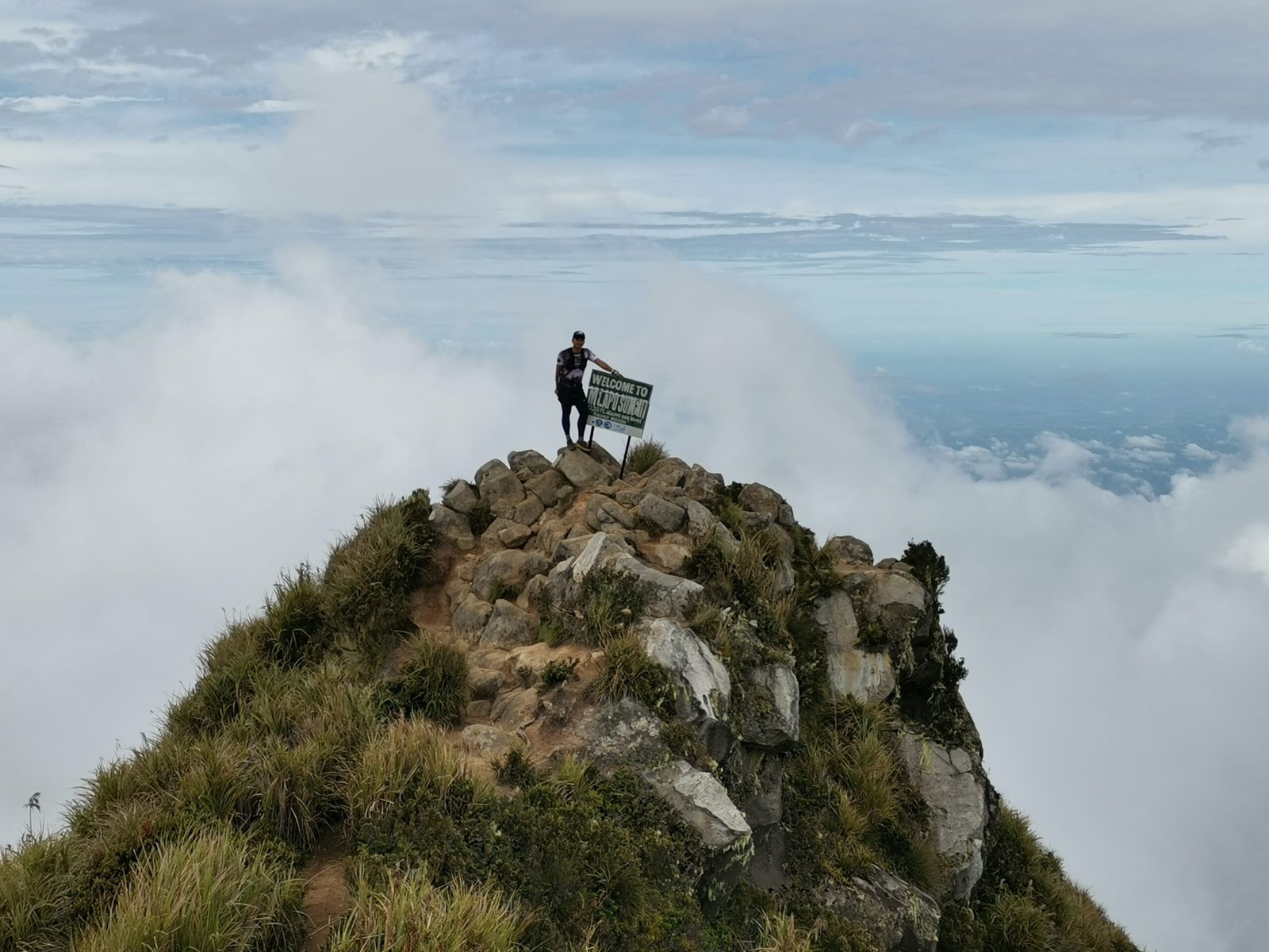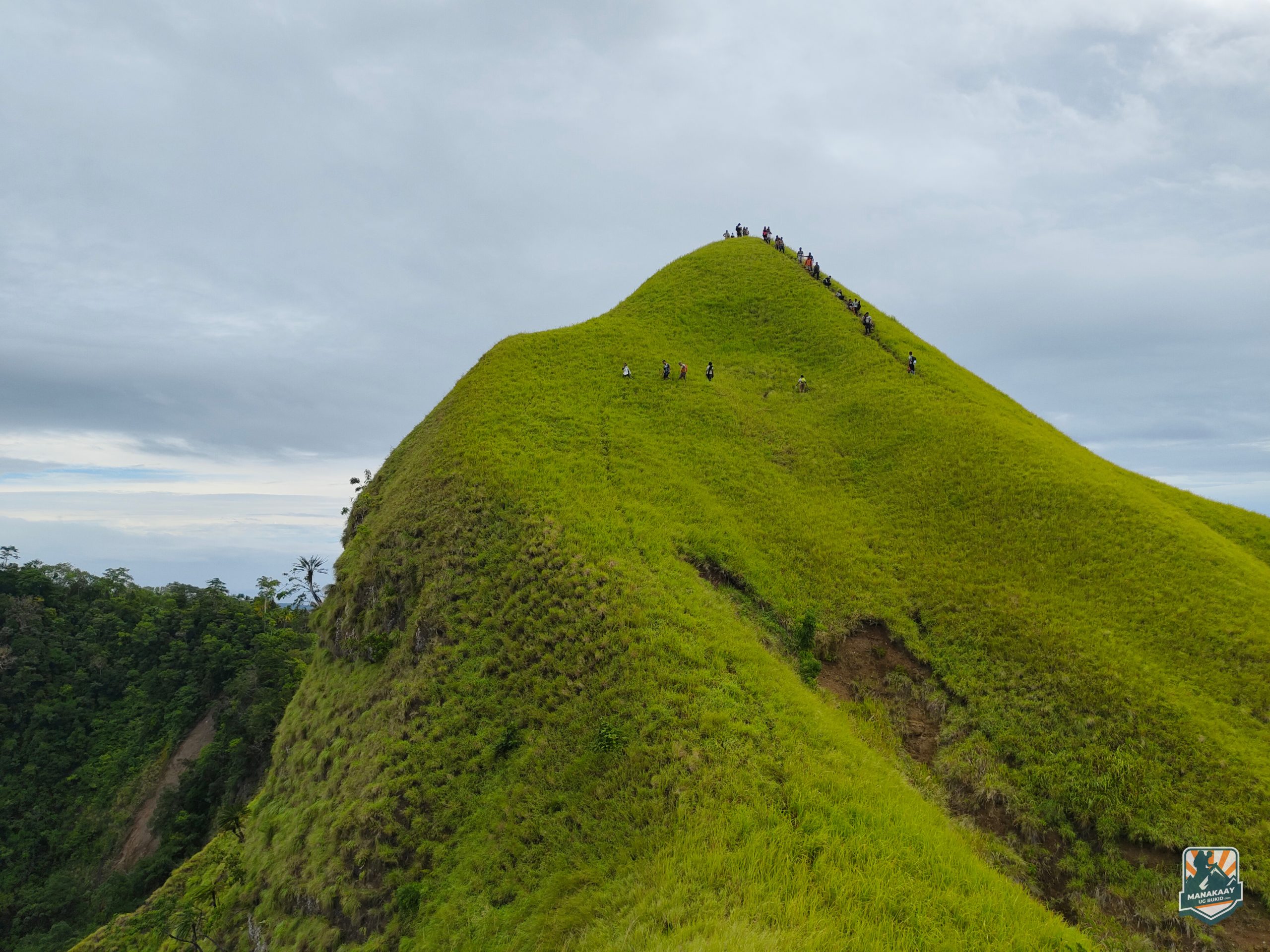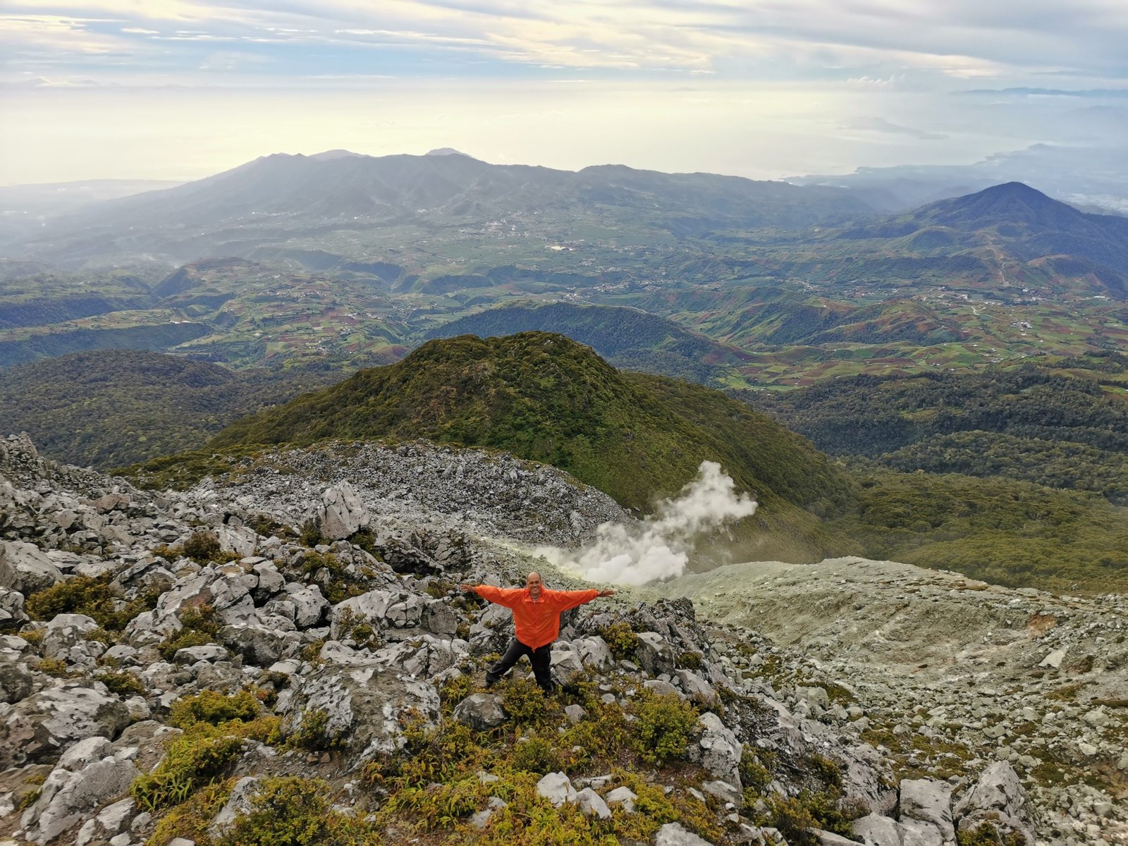
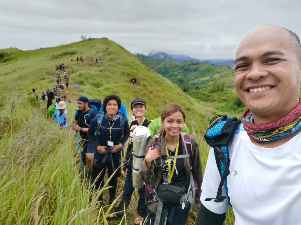
Don’t let the phrase “minor climb” fool you. While Mt. Megatong in Sitio Talos, Sto. Tomas, Davao del Norte is frequently labeled as an introductory trek, it is a deceptively technical, full-pack adventure.
Standing at 430+ MASL along its primary mapped ridges, this peak delivers views for days. Featuring rolling green knolls that mirror the famous Pinamahawa and Kaanibungan ridges of Bukidnon, a heart-pumping “kiss the wall” rock scramble, and a grueling multi-hour trek through the Kipaliku River, Mt. Megatong is the ultimate “tuhod-tested” playground for trail runners and mountaineers alike.
Technical Specifications
| Feature | Details |
| Elevation | 430+ MASL (Deceptive total ascent via rolling ridges) |
| Location | Sitio Talos, Brgy. San Jose, Santo Tomas, Davao del Norte |
| Difficulty | 3/9 to 4/9 (Minor Climb with technical scrambles) |
| Trail Length | ~9.5 km loop (including river trekking) |
| Terrain | 90% exposed grasslands, steep vertical dirt walls, rocky cliffs, and riverbeds |
| Ancestral Domain | Ata-Manobo and Mandaya Tribal Territories |
The Trail Layout: From Grassy Knolls to Deep Canyons
The geography of Mt. Megatong creates an unforgettable loop that transitions from sweeping sky-high ridges down into deeply carved river canyons.
       [Lantawan ni Bakoko Jump-off]
                  /         \
 [Sticky Mud & Slopes]       [Challenging Uphill Finish]
                /             \
    [Technical Peaks 1 & 2]    [15-16 Kipaliku River Crossings]
              /                 \
     [Mt. Megatong Summit] ------> [Vertical 60° Rope Descent]
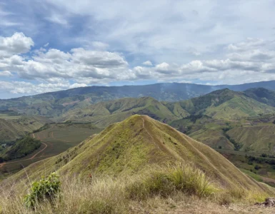
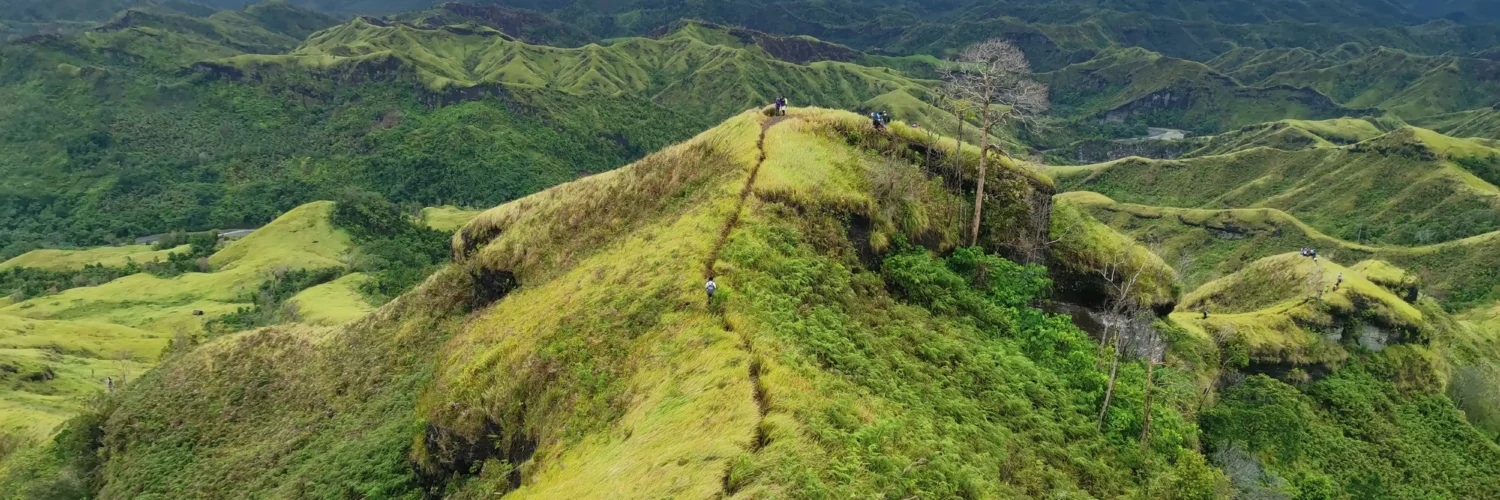
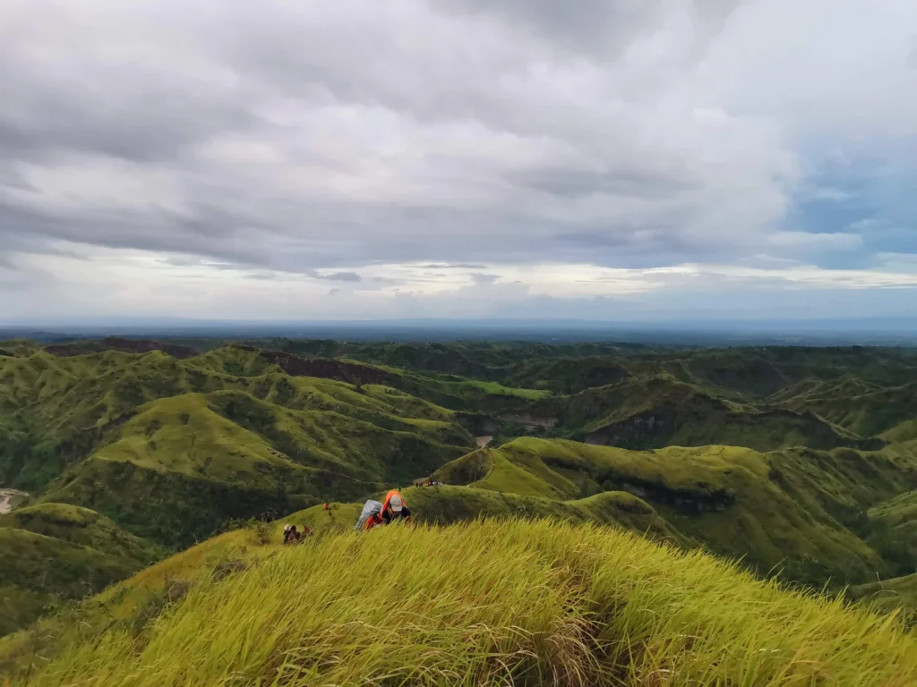
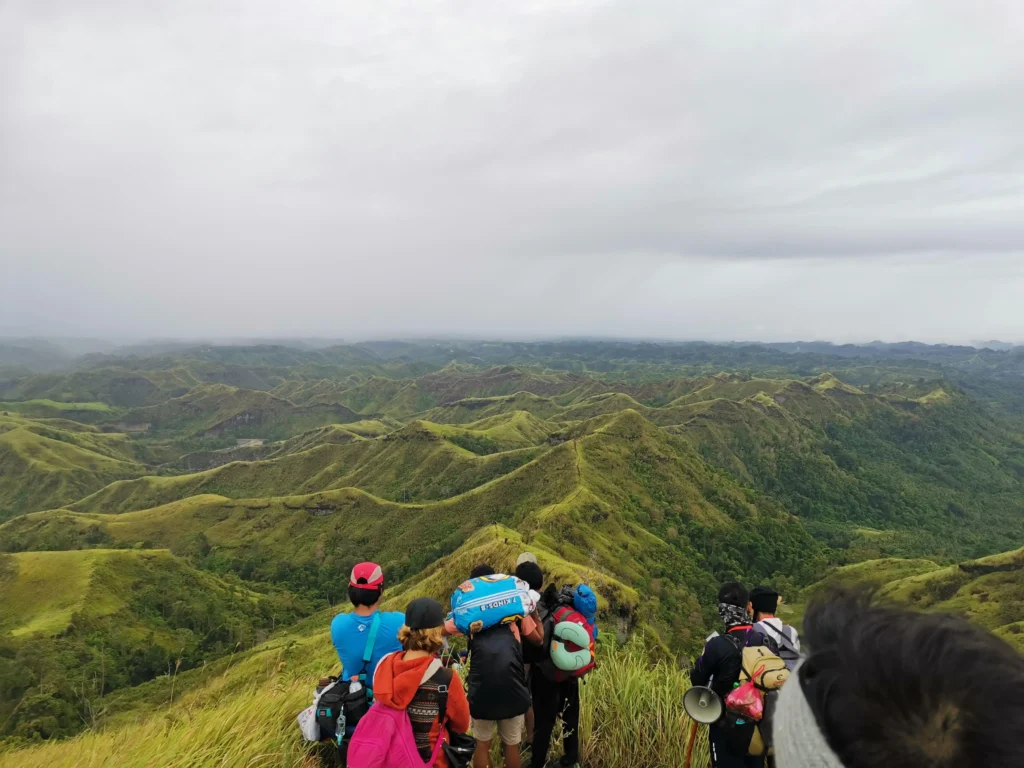
1. The Grassy Ridges (The Bukidnon Vibe)
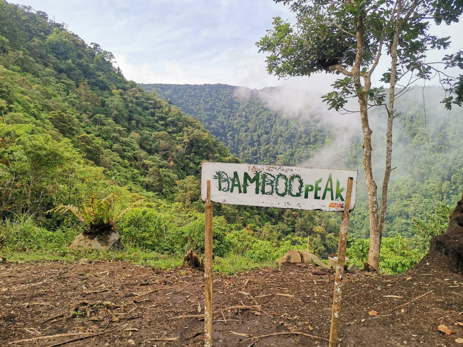
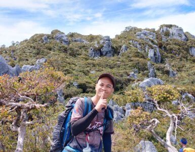
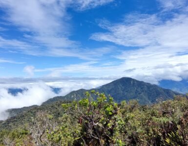
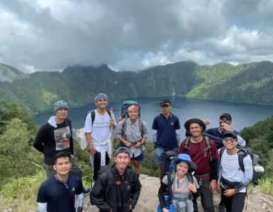
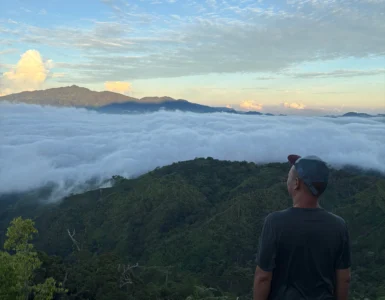
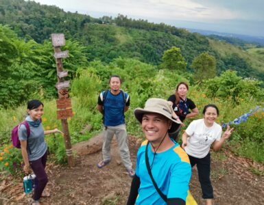
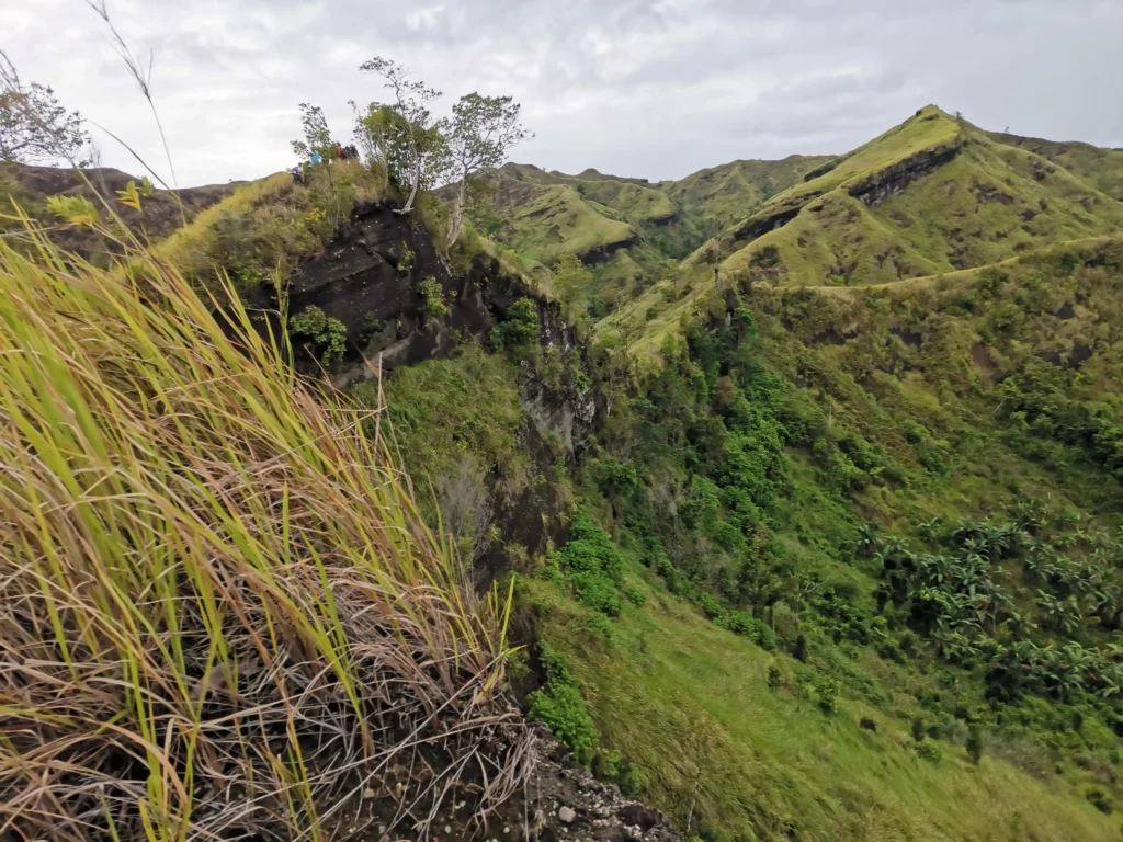
The initial stages of the trail introduce you to endless rolling hills covered in sharp, thick cogon grass. Like the ridges of Viper Peak, these fields offer a spectacular 360-degree view of Davao del Norte. On clear mornings, you will find yourself staring directly at the silhouettes of Mt. Apo and New Bataan’s White Peak (Mt. Pandadagsaan).
2. The Technical Scrambles & “Kiss the Wall” Slopes
As you approach Peak 2 and the final summit assault, your “four-wheel-drive human feature” must be activated. The trail shifts into near-vertical 60- to 90-degree dirt walls where you must literally crawl or rely on fixed ropes to rappel up and down. Certain narrow paths force you to shuffle sideways along exposed cliffs with sheer drop-offs on either side—a true test of mental stamina for anyone managing a fear of heights.
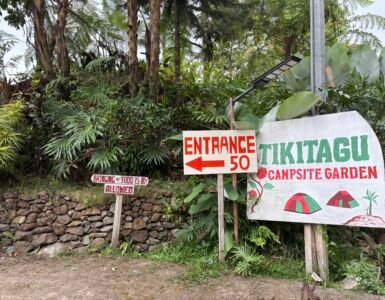
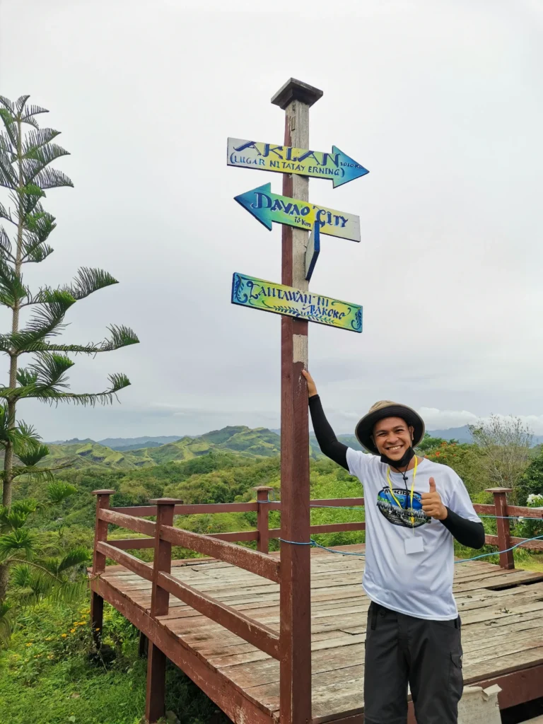
Jump-off Sanctuary: Lantawan ni Bakoko
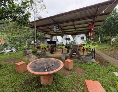
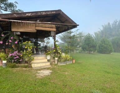
Your journey begins at Lantawan ni Bakoko, a beautifully maintained compound managed by the local Ata-Manobo community. It is a cultural landmark that serves as a protective gateway to the mountain.
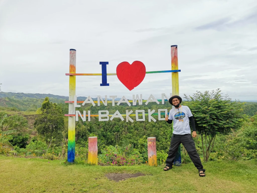
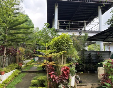
- Accommodations: The compound features an elevated tribal house, a mini lounge, an art gallery, and a clean stage area where you can rest before the traditional 2:00 AM kickoff.
- Support the Locals: The community operates a mini-store selling coffee, snacks, and locally hand-carved trekking rods with the “Mt. Megatong” name embedded on them. You can rent a rod for ₱20 or buy it as a permanent souvenir for ₱50. Purchasing one is highly recommended to directly support the indigenous guides and host families.
The Kipaliku River Challenge: Mini-Canyoning
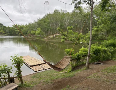
If you descend the mountain when the weather is clear and the waters are safe, the return route takes you into the heart of the Kipaliku River. This is not a casual walk; it is a full-scale river-trekking expedition.
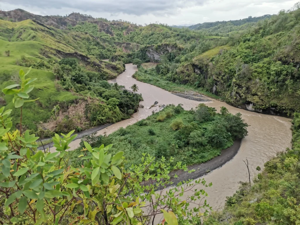
- 15 to 16 Crossings: To avoid hazardous deep pools, you will weave back and forth across the rushing river current more than a dozen times. Water levels fluctuate dynamically from ankle-deep to chest-level.
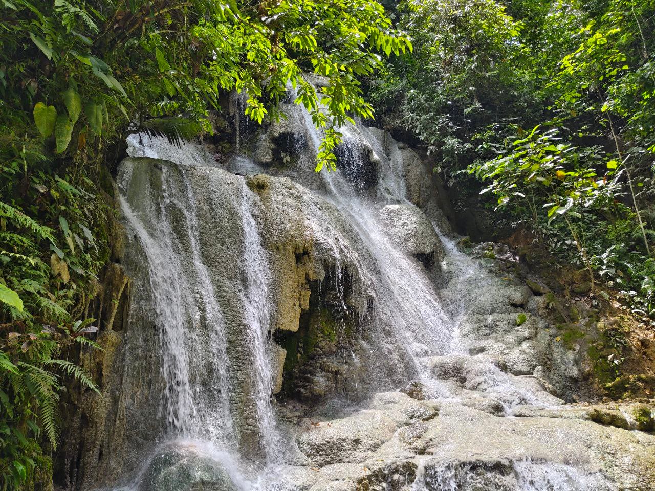
- Natural Rock Formations: Over thousands of years, the river has carved stunning vertical rock walls and giant boulders. In some narrow slots, you will have to hold your backpack over your head to keep your dry clothes from getting soaked.
- The Footwear Warning: The relentless combination of sharp stones, rushing water, and river sand is notoriously brutal on gear. Cheap hiking shoes regularly delaminate or tear apart during this segment; durable, quick-dry trail sandals or specialized river shoes are strongly advised.
Recommended 2D1N Overnight Itinerary
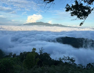
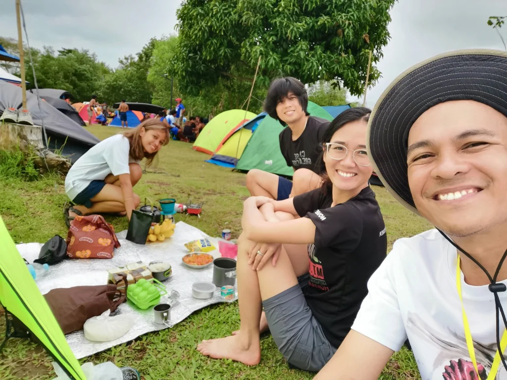
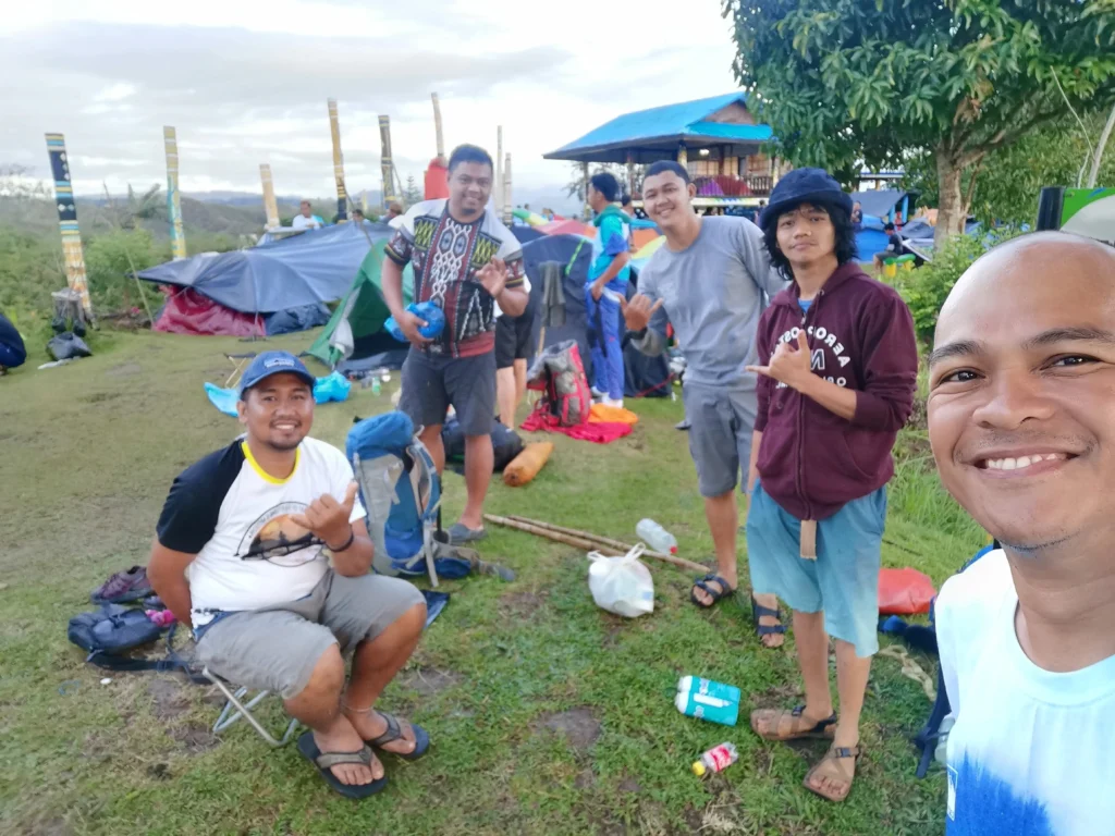
While elite trail runners complete Mt. Megatong as a dayhike, an overnight camp allows you to escape the intense heat and experience the star canopy or a potential sea of clouds.
Day 1: The Ridge Ascent
- 12:00 PM – Meetup at Sto. Tomas Town Proper (7-Eleven). Buy last-minute market supplies.
- 01:00 PM – Ride a Skylab (habal-habal with extended wooden planks for balance) to Sitio Talos. The 40-minute ride is a rough-road adventure in itself!
- 01:45 PM – Arrival at Lantawan ni Bakoko. Registration, tribal orientation, and safety briefing.
- 03:00 PM – Start Hike. Face the initial muddy slopes and rolling ridges.
- 05:00 PM – Navigate the technical knife-edges and steep roped sections.
- 06:00 PM – Reach the Mt. Megatong Summit. Catch the sunset over the Davao del Norte expanse.
- 07:00 PM – Pitch tents, prepare dinner, and enjoy the glittering city lights to the Far East.
Day 2: The River Descent
- 04:30 AM – Wake-up call. Watch the sunrise break over the relentless green ridges.
- 06:00 AM – Break camp, pack light, and secure your trash.
- 07:00 AM – Begin the steep, vertical descent toward the canyon floor.
- 08:30 AM – Arrive at the river shelter. Prepare breakfast by the gushing water.
- 09:30 AM – Begin Kipaliku River Trekking. Negotiate the boulders and strong currents.
- 12:00 PM – Reach the final river exit point. Cook lunch and take a quick cool-down dip.
- 01:30 PM – Tackle the final, scorching mid-day uphill climb back to the Sitio Talos community.
- 03:00 PM – Head back to Sto. Tomas proper via Skylab, then board a bus back to Davao City.
The “Tuhod-Tested” Packing List
- Sun Protection: 90% of this trail is wide open with no tree canopy. An umbrella, wide-brimmed cap, and sunblock are absolute necessities to avoid severe sunburn or heat exhaustion.
- Water Strategy: Water is scarce at the summit. Secure at least 2–3 liters of drinking water before leaving the jump-off. The only natural water source is found hours later at the river.
- Illumination: If you are day-hiking from 2:00 AM, a high-quality headlamp with extra batteries is mandatory for the vertical rock scrambles.
- Shelter Gear: If staying overnight, ensure your tent has sturdy rock anchors or long pegs; the summit is exposed to powerful, biting gusts of wind that can shake tents violently throughout the night.
Budget Breakdown (DIY vs. Organized)
The DIY Estimate (Per Person based on a group of 5):
- Bus Fare (Davao City to Sto. Tomas roundtrip): ₱300
- Skylab/Habal-habal (Sto. Tomas to Sitio Talos roundtrip): ₱100
- Registration / Environmental Fee: ₱200
- Guide Fee Share (₱600 base per 5 guests): ₱120
- Group Food/Trail Snacks: ₱500
- Total Estimated Cost: ₱1,220
The Packaged Alternative:
For a hassle-free trip, local organizers offer packaged joiner tours ranging from ₱850 to ₱1,399, which frequently include roundtrip van transfers from Davao City, municipal permits, local guides, and hosted camp meals. Contact us for local coordinators.
Frequently Asked Questions (FAQ)
Q: Is Mt. Megatong beginner-friendly? A: Officially, it is classified as a minor climb, but it should not be underestimated. The extreme sun exposure, near-vertical roped down-climbs, and 16 river crossings make it highly physically demanding for total novices. Prior cardio and leg preparation are recommended.
Q: Can we bring our pets on the trail? A: No. To protect the local ecosystem and respect tribal ordinances, dogs and other pets are strictly prohibited on the Mt. Megatong trail.
Q: What happens if it rains before the hike? A: The initial trail turns into a thick, sticky clay-mud that makes shoes feel incredibly heavy. Furthermore, if the Kipaliku River begins to swell, the river trekking portion is cancelled for safety, forcing hikers to backtrack along the ridge trail.
Leave No Trace
Mt. Megatong is a sacred ancestral domain. Always carry out everything you pack in, respect the local cultural boundaries set during the orientation, and support the indigenous community by preserving the raw, unfiltered beauty of this Davao del Norte gem.