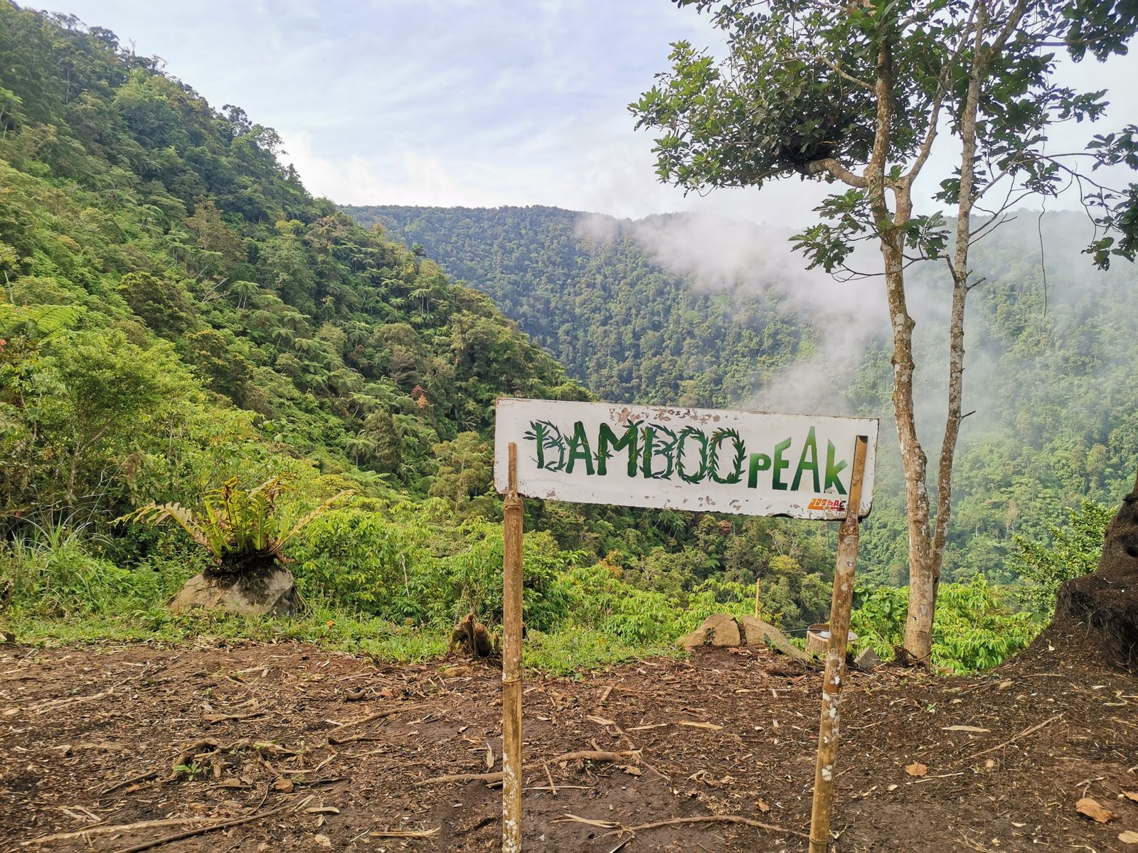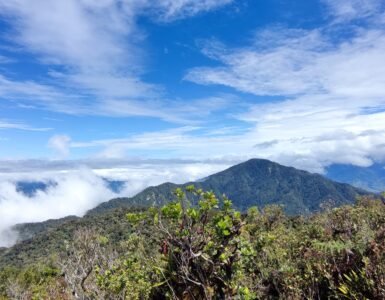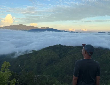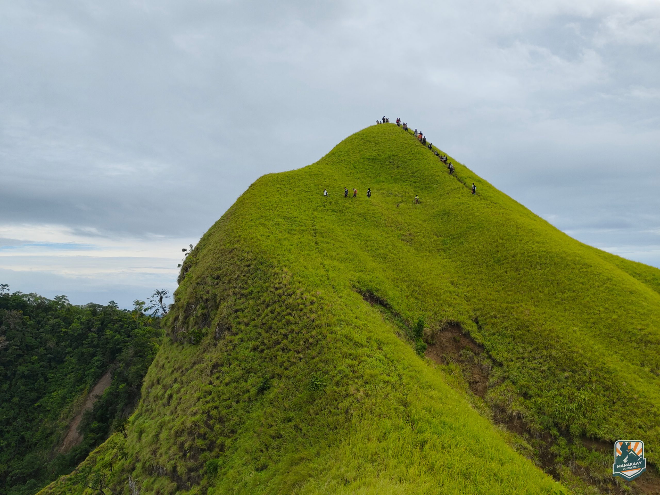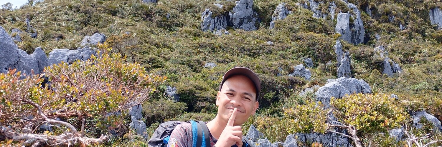
Among the mountaineering community in Mindanao, three names carry a weight of legend in Davao de Oro: Mt. Candalaga, White Peak (Mt. Pandadagsaan), and the elusive Mt. Kampalili. Standing at 2,320 MASL, Kampalili is not just a hike; it is a test of survival against sharp limestone, unpredictable weather, and raw, unestablished trails.
In the local Mandaya language, “Kampalili” translates directly to “Dangerous” (Dilikado). After spending three days navigating its vertical cliffs and mossy labyrinths, it’s a name we can confirm is well-earned.
Technical Specifications
- Elevation: 2,320 MASL
- Difficulty: 8/9 (Major Climb)
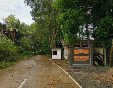
- Location: Sitio Kaluyapi, Brgy. Langgawisan, Maragusan, Davao de Oro
- Trail Type: Backtrail (Limestone scramble, Mossy forest)
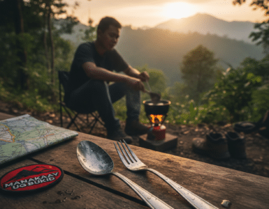
- Estimated Time: 3 Days, 2 Nights
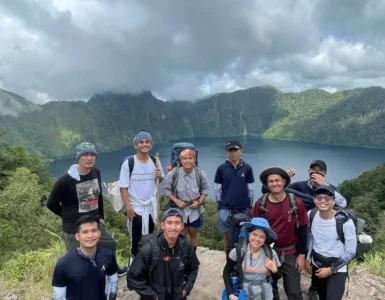
- Key Features: Limestone cliffs, Dew catcher water sources, Diomaboc Lake.
The Trail: From Abaca to Mossy Limestone
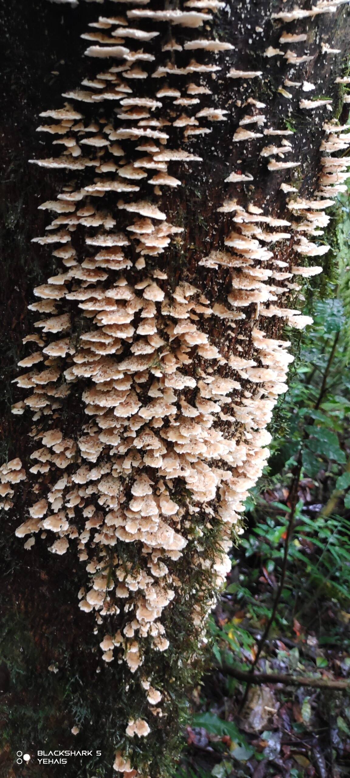
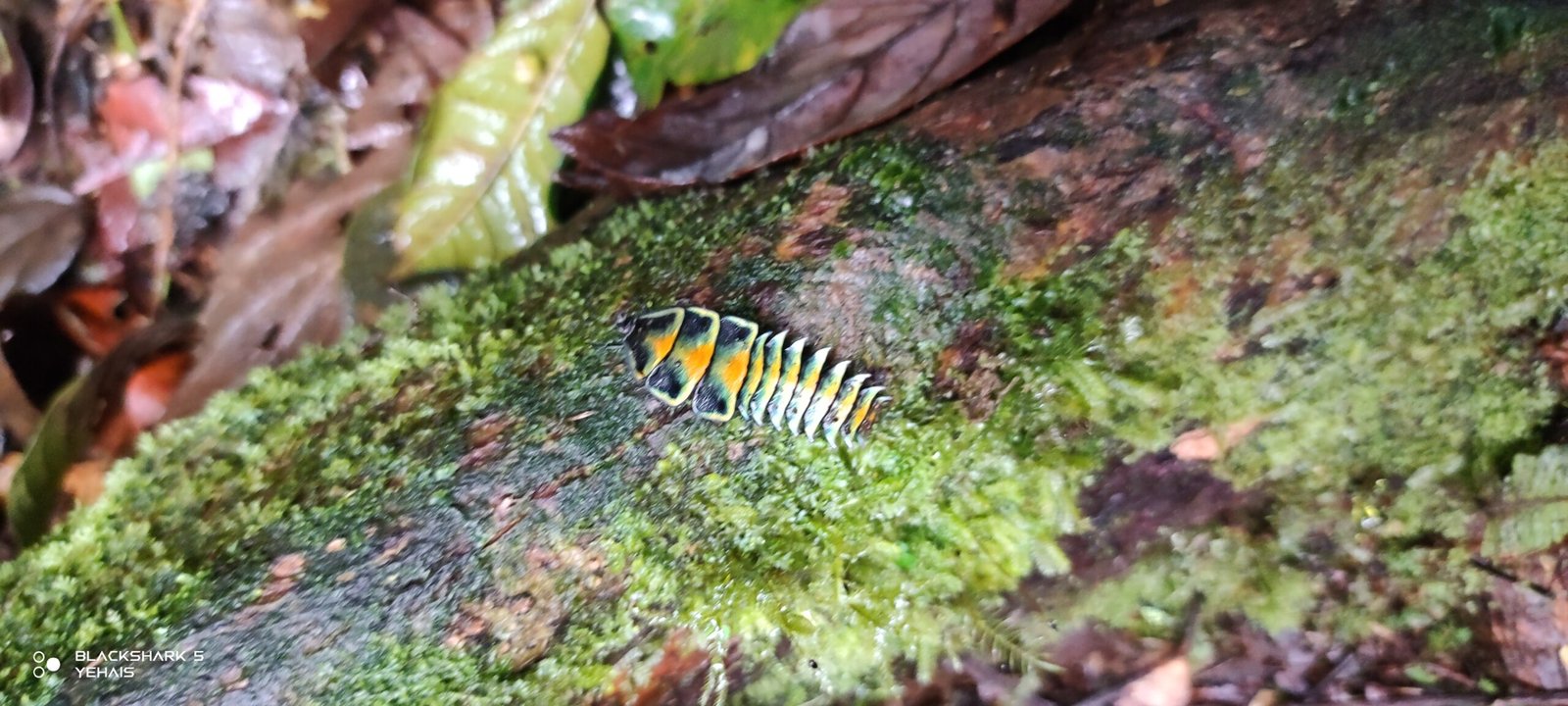
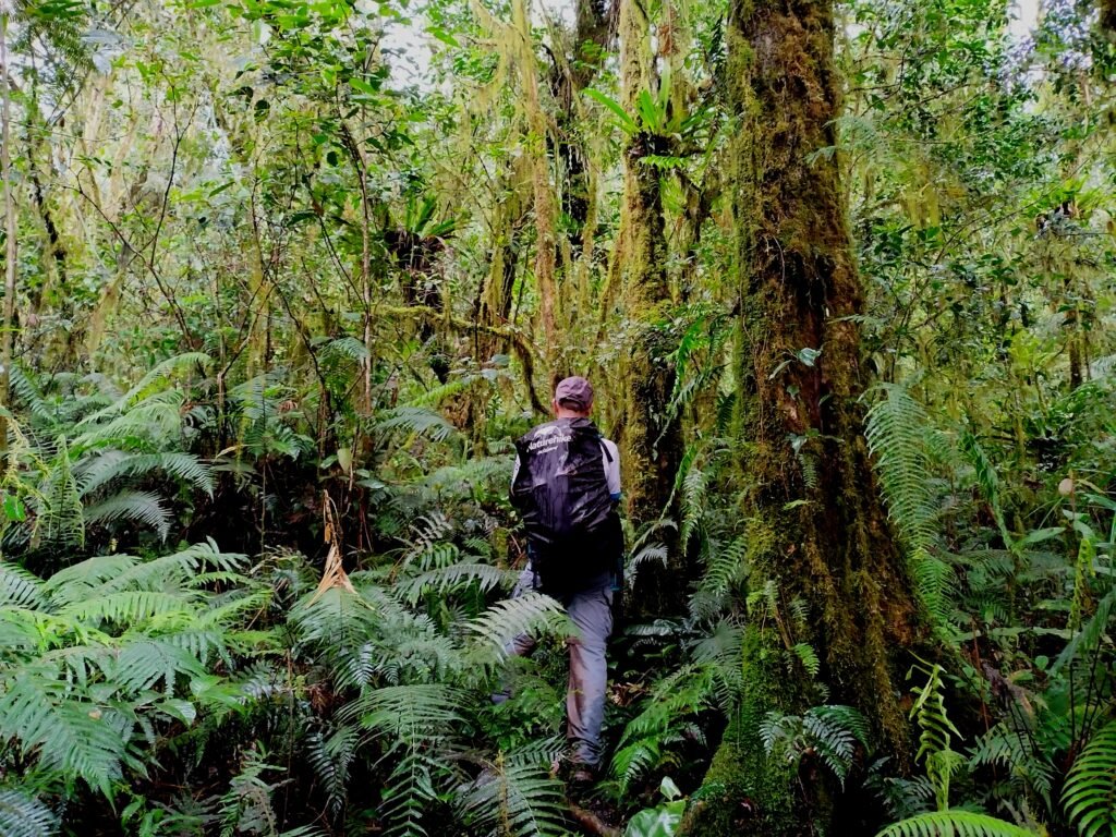
The Abaca Slopes and Lush Forest
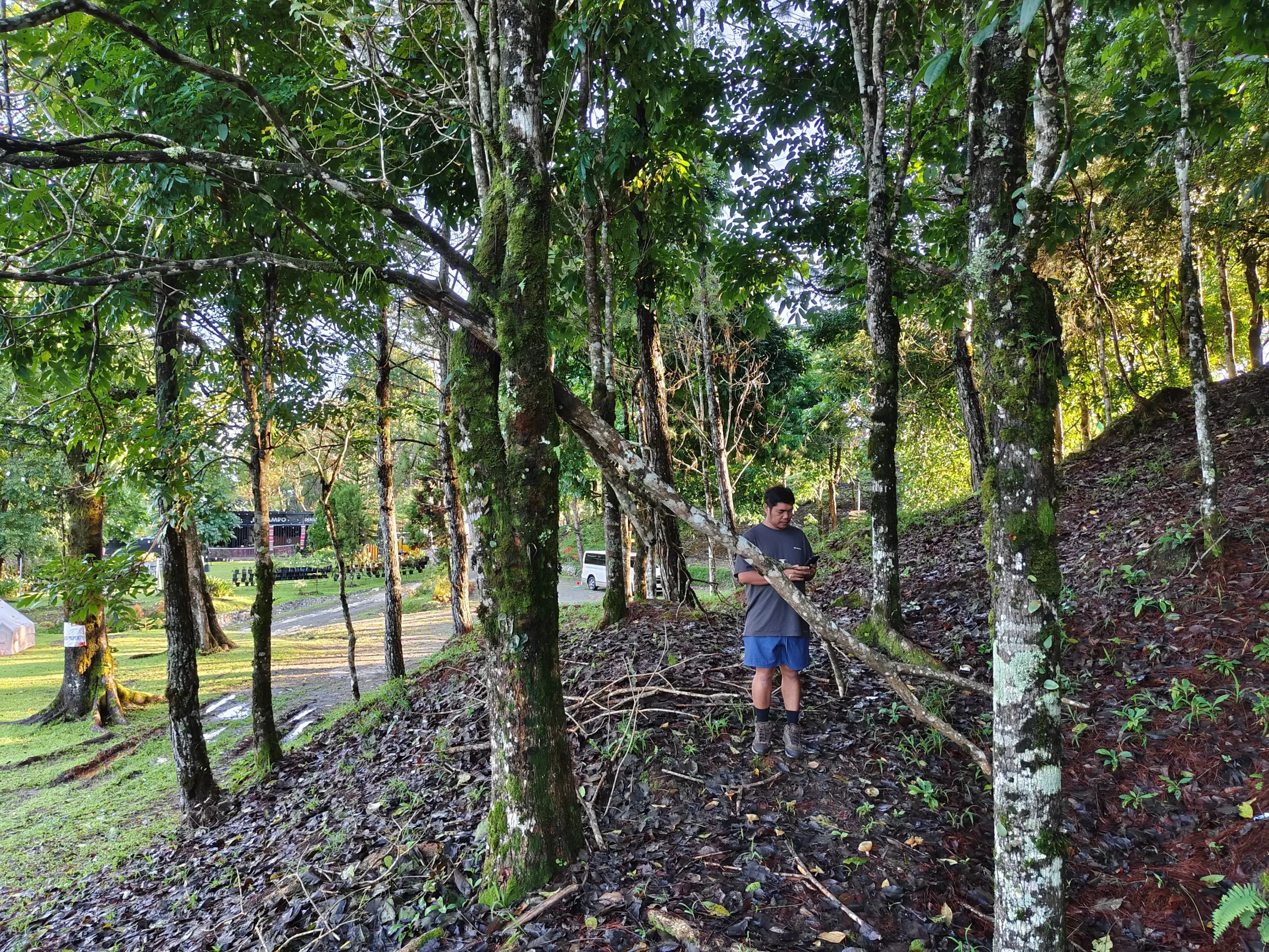
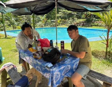
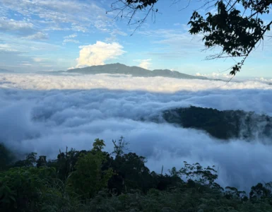
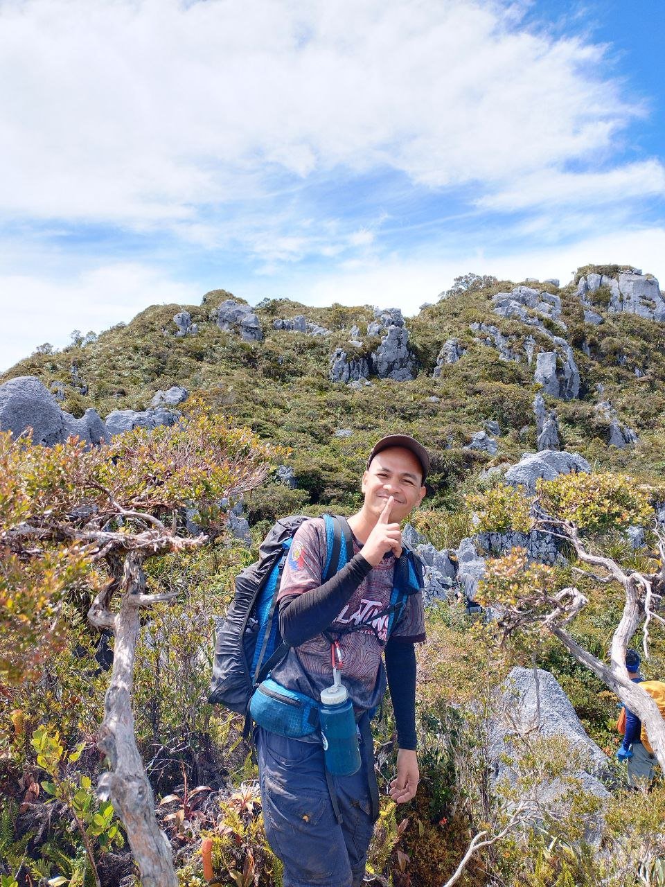
The initial trek from Sitio Kaluyapi takes you through abaca slopes and far-flung cottages of local farmers. As you gain elevation, the scenery shifts abruptly into a pure, lush forest. Be wary of Alingatong (noxious stinging nettles) that line the trail; a single brush can ruin your day.
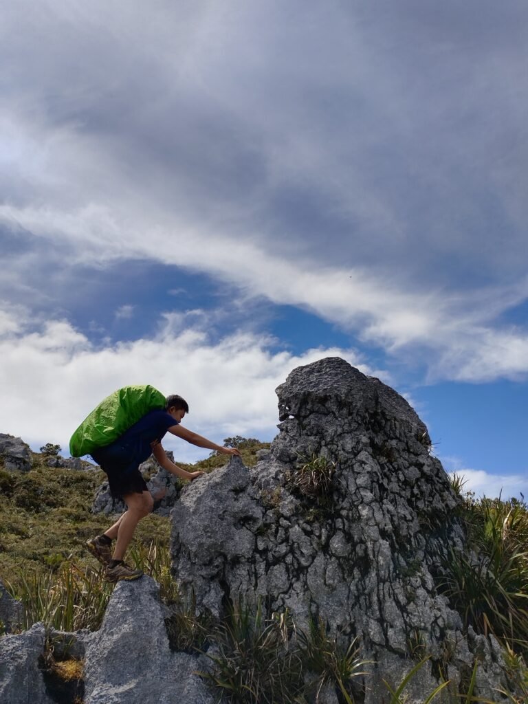
The Final Assault & Sharp Limestone
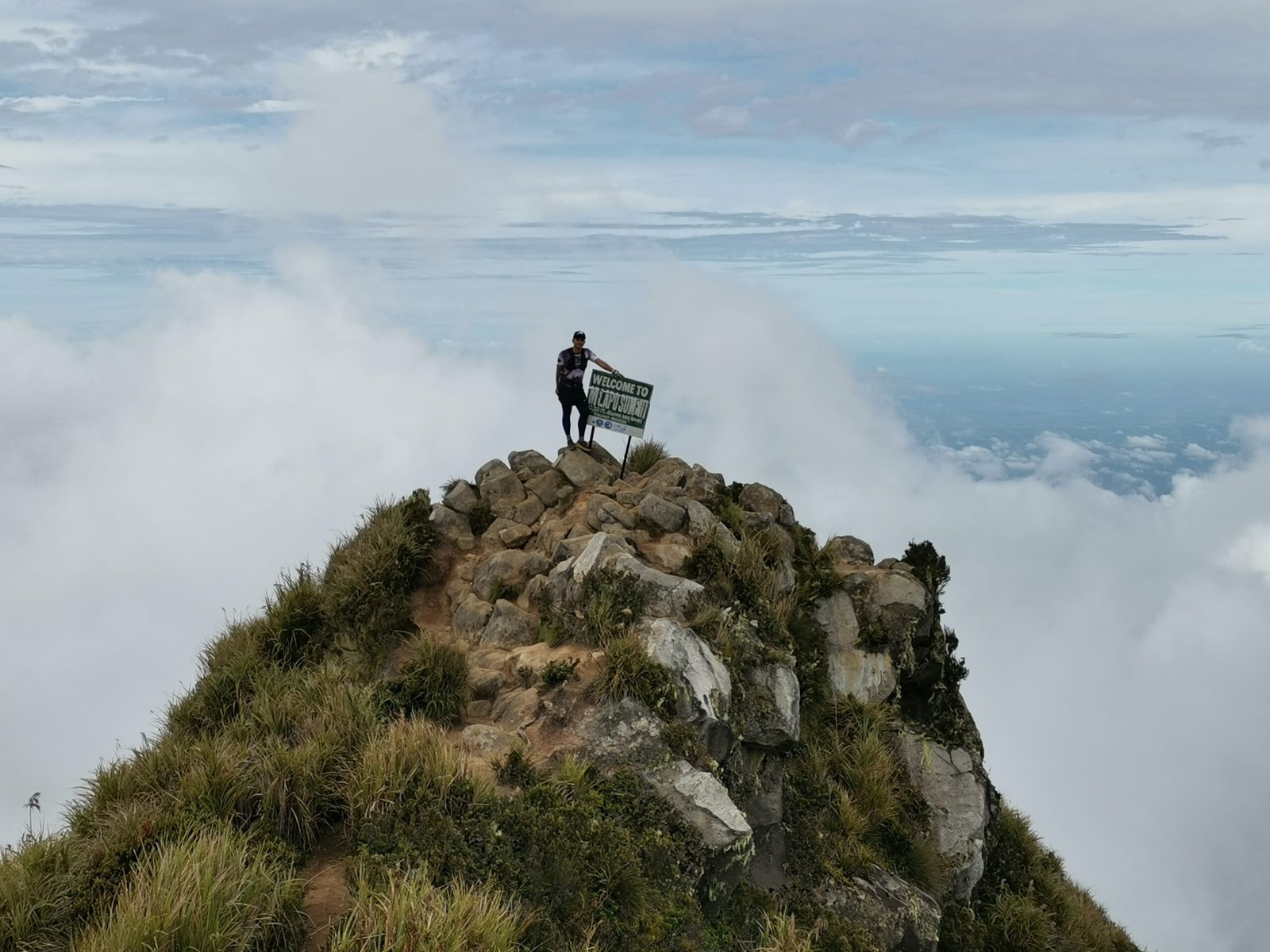
Unique among Mindanao peaks, Kampalili features massive limestone cliffs. The terrain becomes treacherous here, with sharp-edged rocks that can easily cut through skin and clothing.
Manakaay Tip: It is mandatory to bring durable gloves. You will be scrambling and holding onto sharp limestone for balance; unprotected hands will suffer the final assault.
Survival Logistics: The Dew Catchers
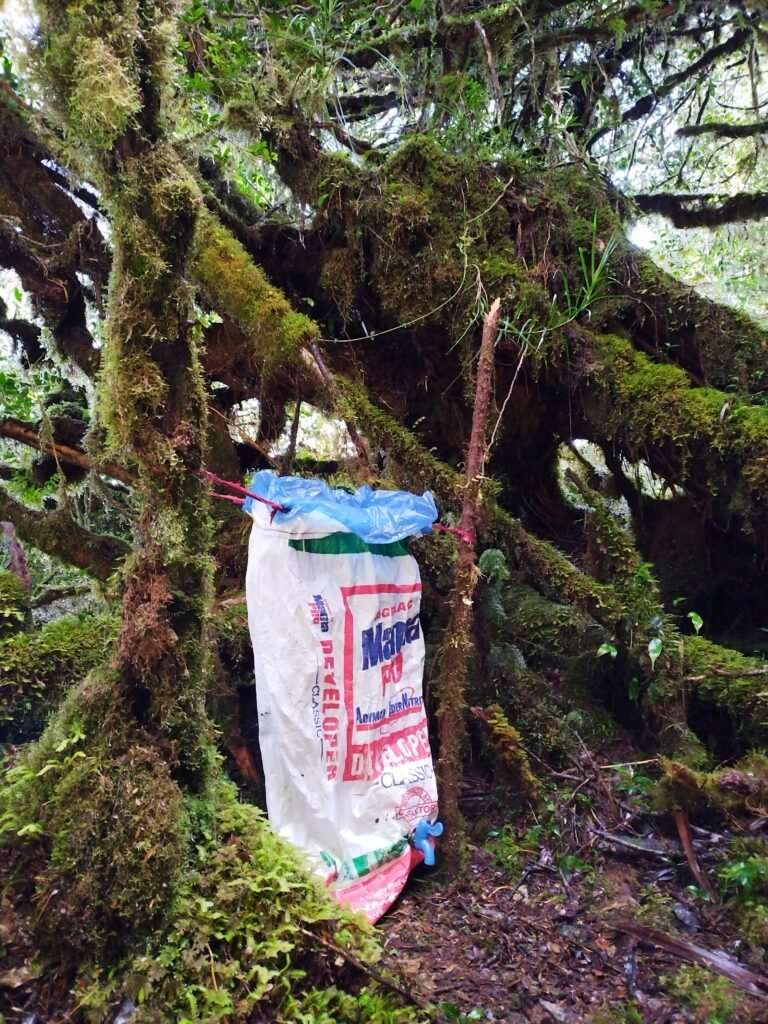
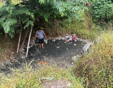
One of the most unique aspects of Mt. Kampalili is the water situation. Beyond the lower forest, natural streams disappear.
- The Last Water Source: Before you hurdle the final assault to the peak, you will pass through a large forest canopy. Here, the last available water is collected via dew catchers.
- How it works: Local guides place sacks under the trees to capture condensation and rainwater.
- The No-Water Zone: Once you leave this canopy area and begin the climb up the limestone faces to the summit, there is no water source available. You must fill all containers at the dew catchers to survive the summit camp and the trek back down.
Camping and Survival Realities
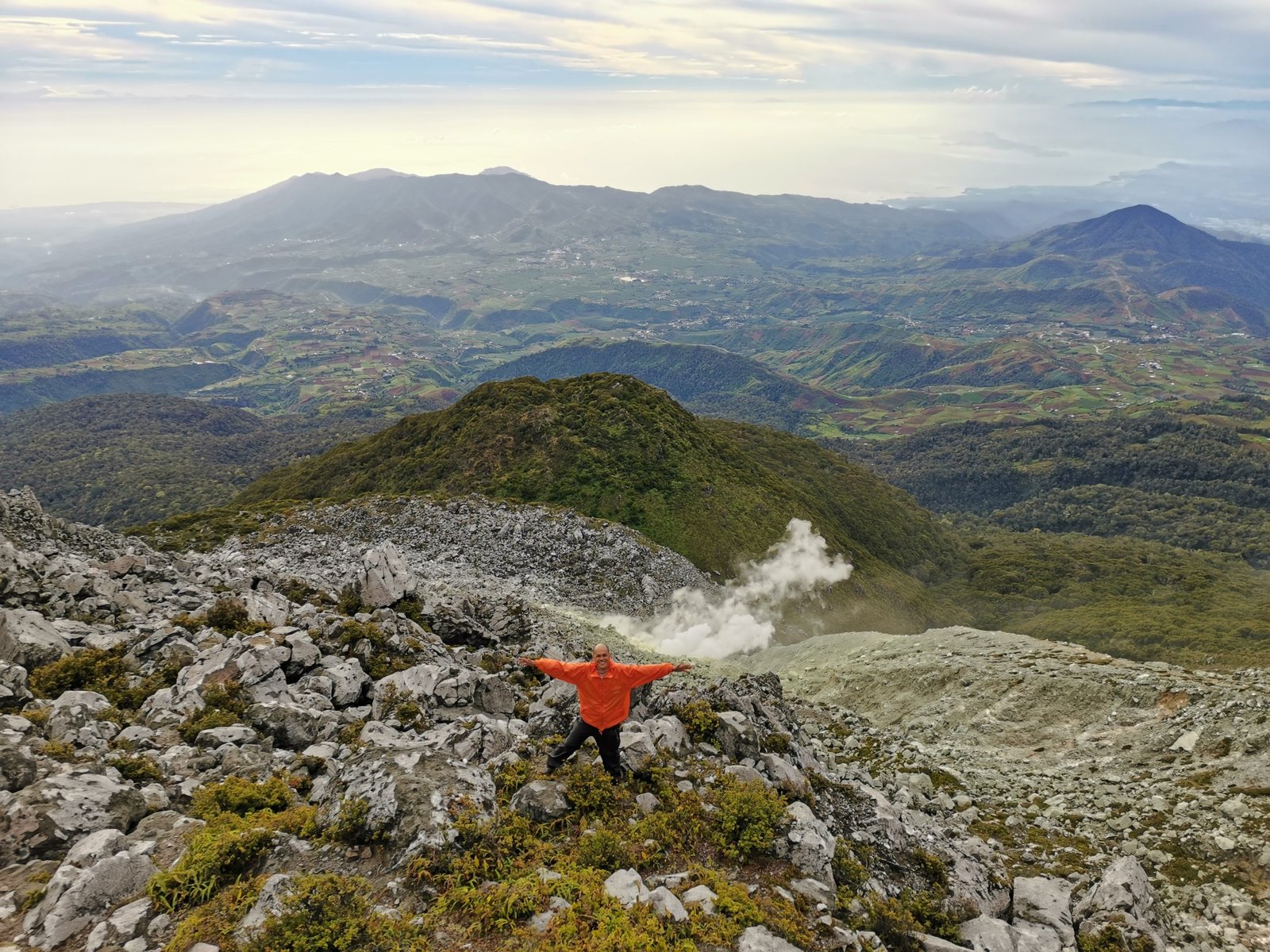
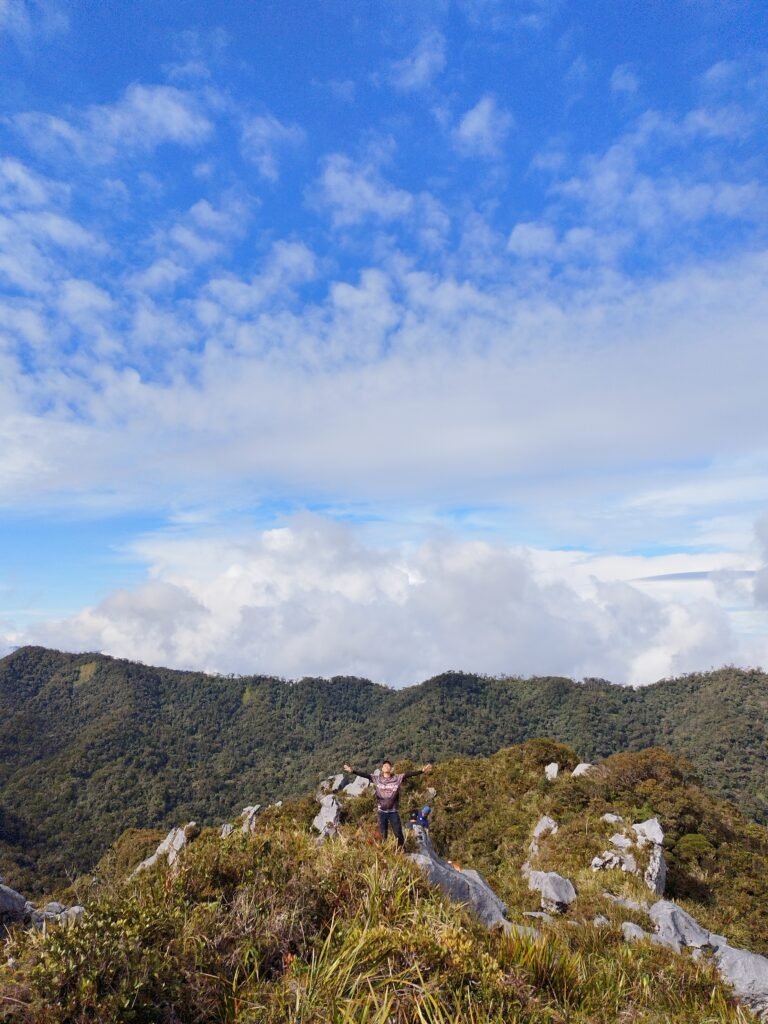
Campsite 2: The Peak (Extreme Weather)
During our trek, we encountered harsh winds and horizontal rain at the peak. Because the terrain is solid limestone, standard tent stakes are useless. We were forced to huddle under rock overhangs with tarpaulins, unable to set up full tents.
Unique Highlights: The Couple Stones
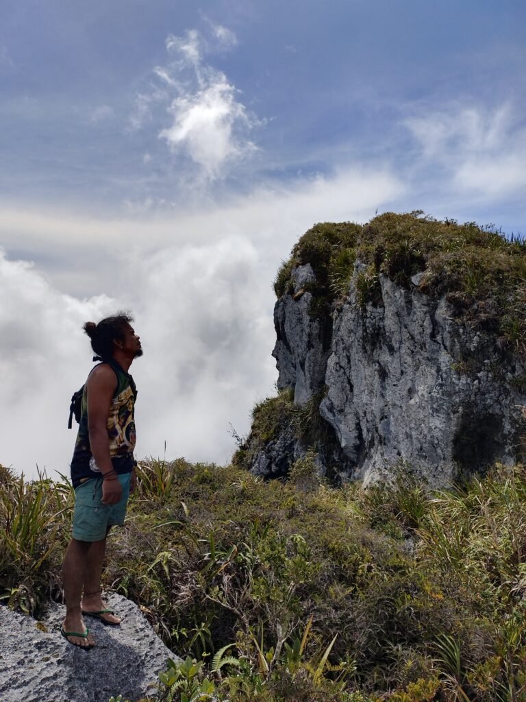
The limestone at the summit has been weathered into strange shapes. Most remarkable is a formation that looks like a man and woman beside each other.
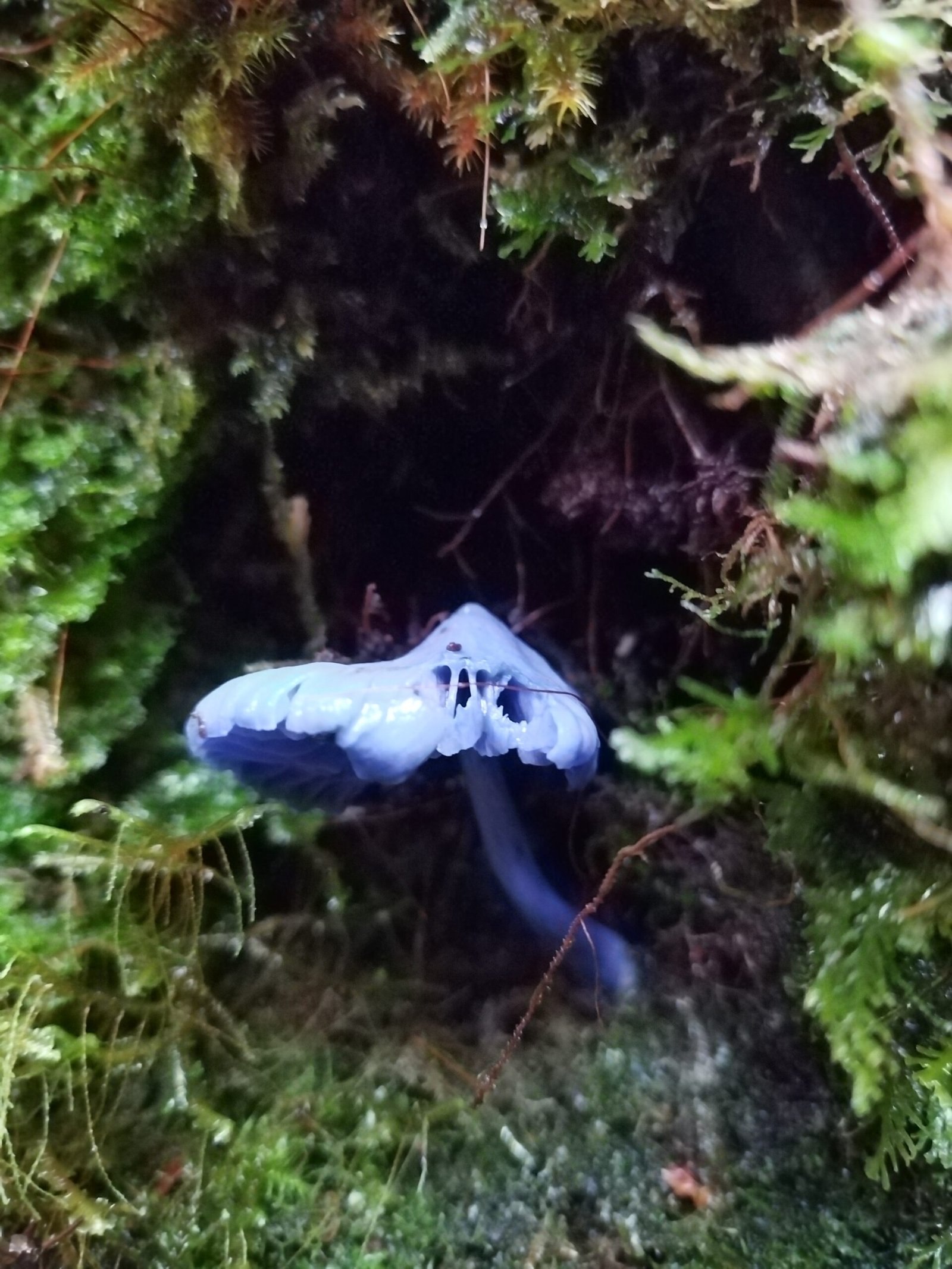
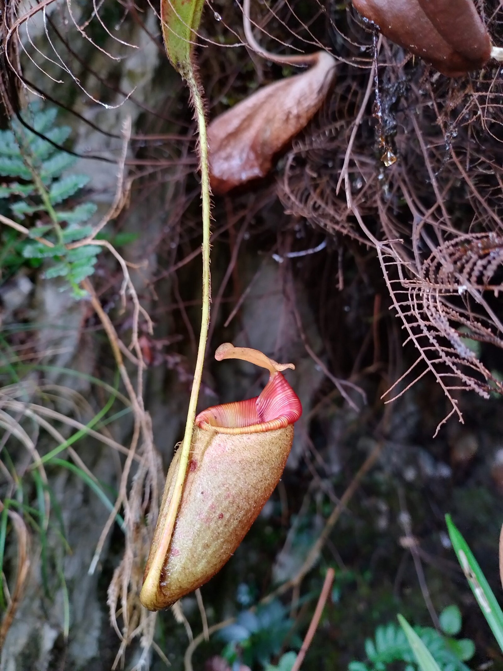
Conservation Note: This area is of immense ecological importance. You can read more about the official Mt. Tagub – Kampalili Ranges Protected Landscape to understand the legal efforts to preserve this unique biodiversity.
Frequently Asked Questions (FAQ)
Where is the last water source in Mt. Kampalili?
The last water source is found in the large forest canopy before the final summit assault. It consists of dew catchers (sacks placed under trees). There is no water available at the summit.
Do I need special gear for the limestone rocks?
Yes. Gloves are a must to protect your hands from the sharp-edged limestone rocks during the scrambling portions of the climb.
What does Kampalili mean?
In the local Mandaya language, Kampalili means “Dangerous” (Dilikado), referring to the mountain’s steep cliffs and treacherous terrain.
Final Thoughts
Mt. Kampalili is a mountain that demands respect. It is one of the “Three Great Peaks” of Davao de Oro for a reason. It is dangerous, damp, and difficult—but for the Manakaay who seeks the soul of the Mindanao wilderness, it is an essential pilgrimage.