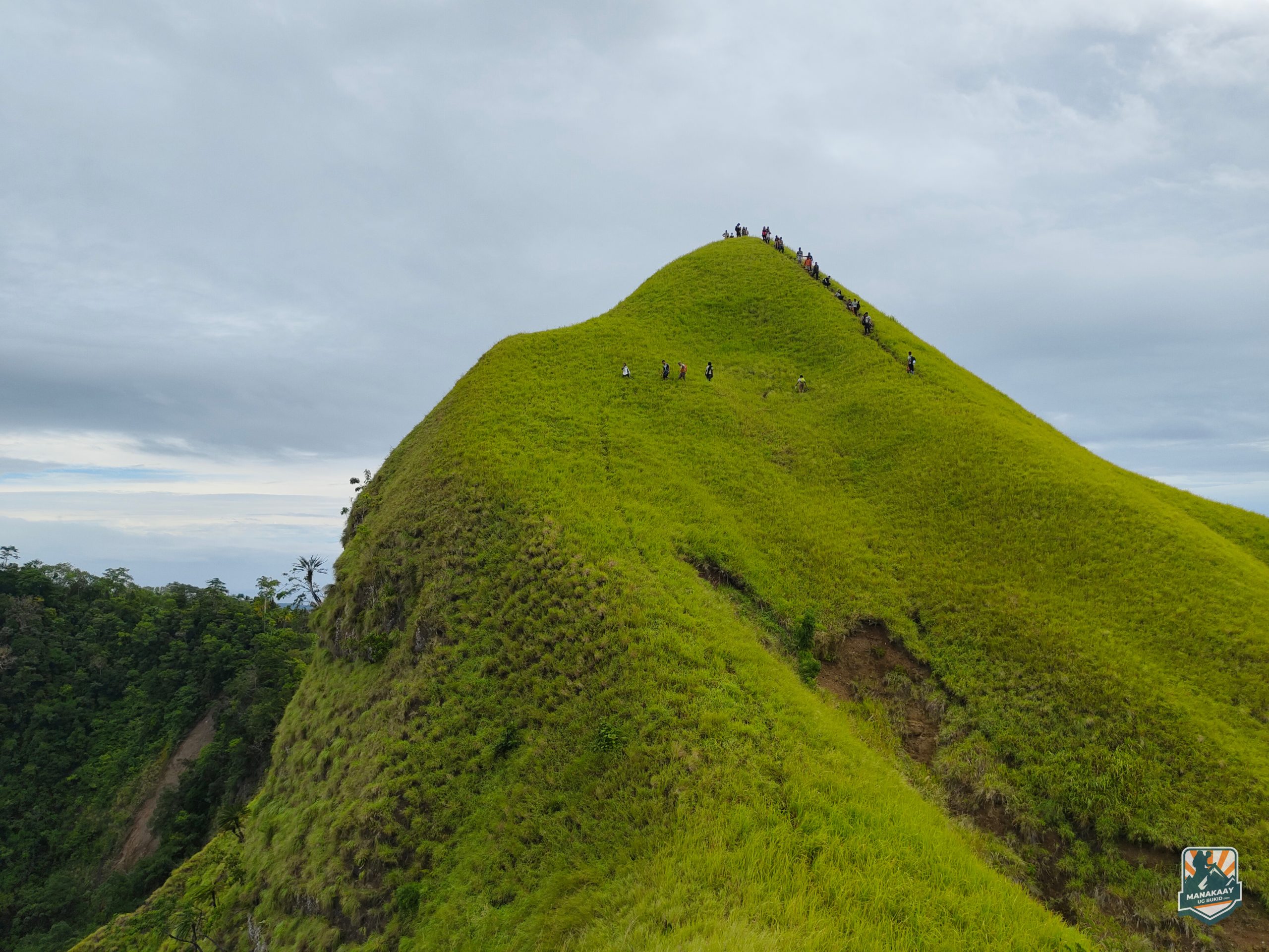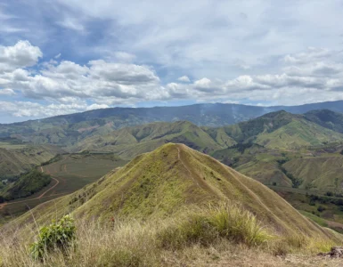
Standing at 913 meters above sea level (2,995 feet), Mt. Kulago—named after the Higaonon word for “hummingbird”—is a crown jewel of Impasug-ong, Bukidnon. Known for its golden-green ridges that mirror the vibrations of a hummingbird’s wings, this mountain offers a “dream-meets-reality” experience that is both physically demanding and soul-satisfying.
Whether you are looking for a rigorous recovery hike or a scenic overnight escape, Mt. Kulago is a must-visit destination that rivals the beauty of Mt. Pulag, but with the distinct, raw intensity of the Mindanao sun.
Technical Specifications
- Elevation: 913 MASL
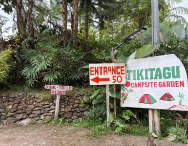
- Location: Brgy. Bontongon, Impasug-ong, Bukidnon
- Difficulty: 3/9 (Minor Climb) but with high sun exposure
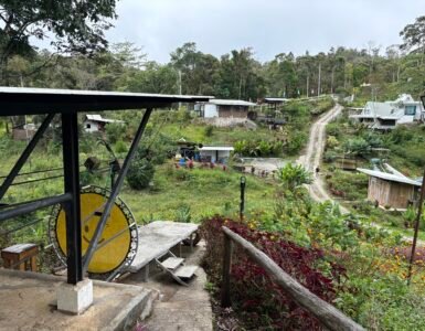
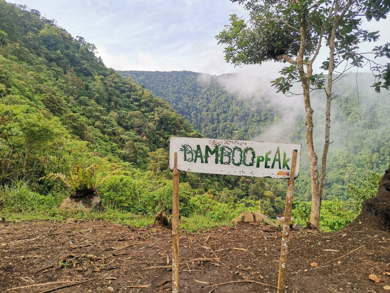
- Trail Type: 90% open grassland and ridges
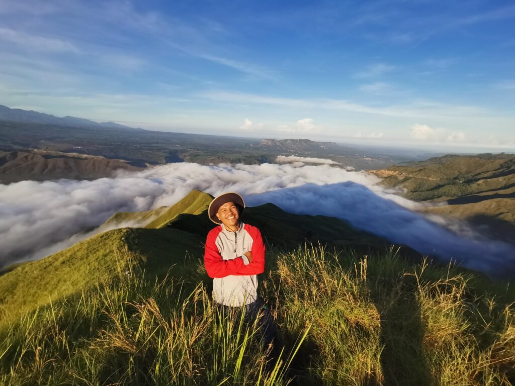
- Features: Rolling emerald hills, Tagoloan River crossing, 360-degree views of the Kitanglad Range.
The Experience: Where Dreams and Reality Merge
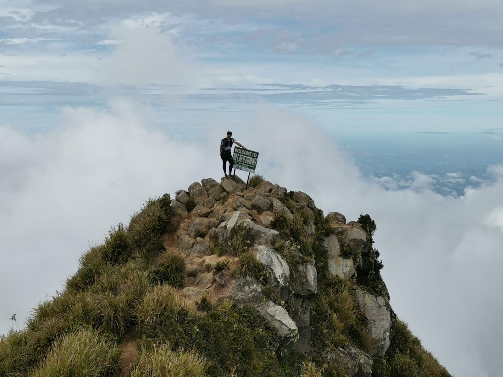
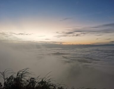
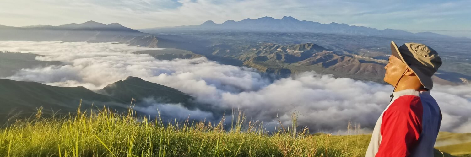
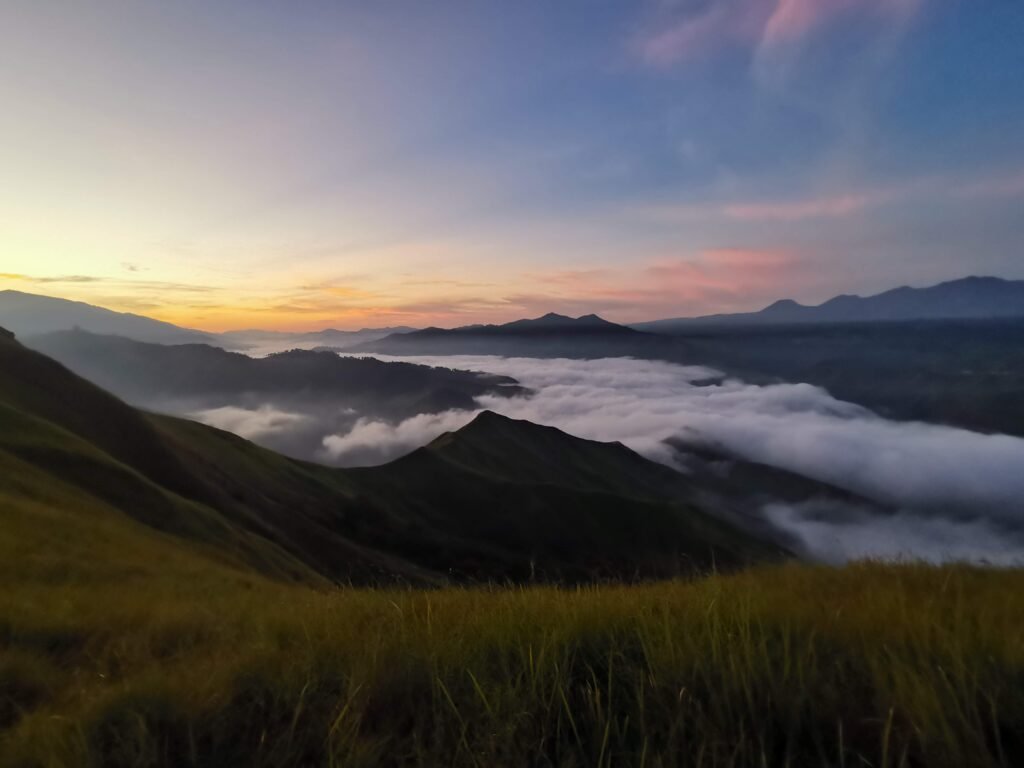
The Surreal Summit
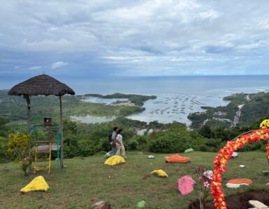
The magic of Mt. Kulago happens at dawn. Reaching the viewing area before sunrise feels like being transported into an enchanting fairytale. As the sun breaks the horizon, the silhouette of the ridges is bathed in amber and gold. On a clear day, the summit offers a commanding view of Mt. Kitanglad, the towering giant of the province.
The Open Trail and the Shaded Campsite
Be warned: Mt. Kulago is an open trail. There is almost no canopy cover during the trek, making the sun’s heat intense. An umbrella is a “tuhod-tested” survival tool here.
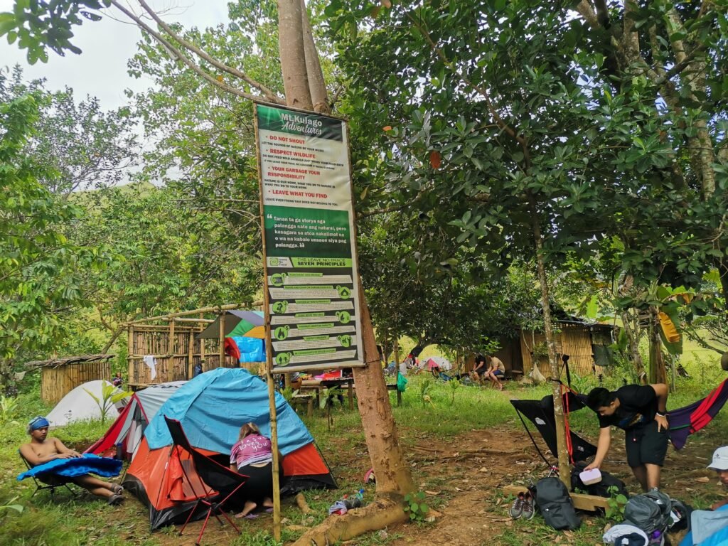
However, the campsite provides a much-needed reprieve. Unlike the exposed ridges, the campsite is actually covered in trees, providing a natural canopy. While this offers shade during the day, the temperature drops significantly under the trees. Be prepared for a cold night; high-altitude winds combined with the canopy shade make warm clothing essential for your overnight stay.
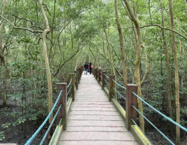
The Tagoloan River Crossing
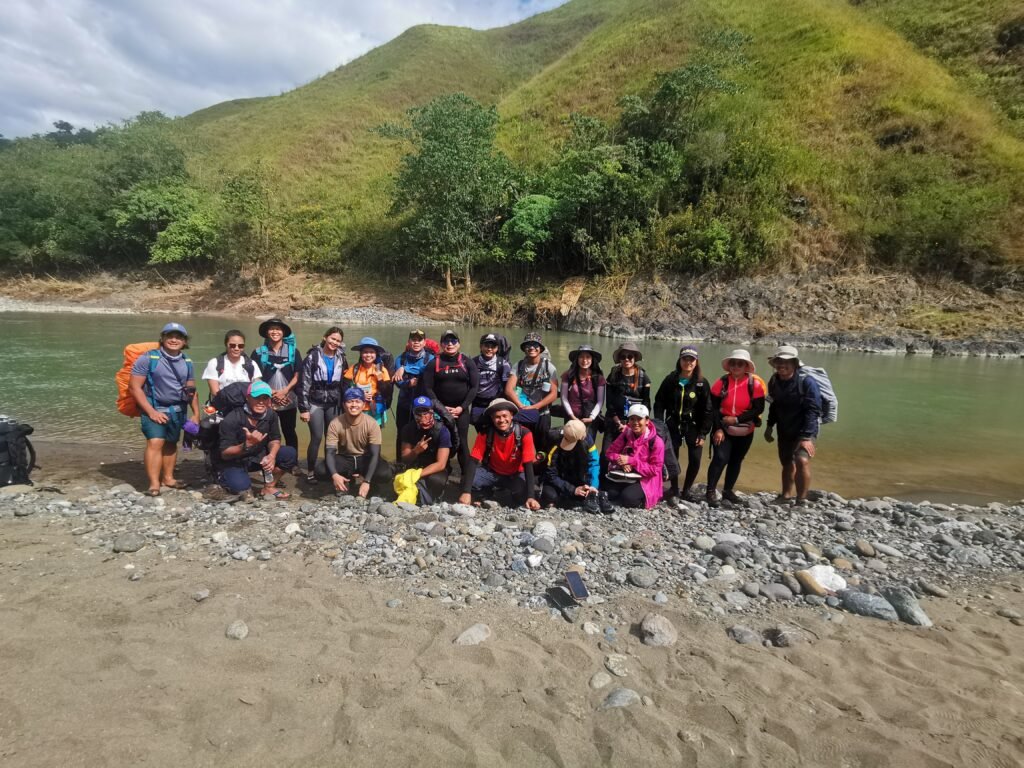
Before the final ascent to the campsite, hikers must cross the Tagoloan River via a balsa (bamboo raft). While the water varies in depth, a raft is necessary for anyone carrying a full multi-day pack to ensure gear stays dry.
Logistics & DIY Guide
For the budget-conscious traveler, the DIY route is a rewarding way to experience the mountain.
The DIY Route (Estimated Fees per Person):
The total cost for a DIY trip averages around ₱2,000, depending on your group size and negotiation.
- Entrance Fee (Communal Ranch): ₱70
- Entrance Fee (Kulago Jump-off): ₱400
- Balsa Fee: ₱20 (Round trip)
- Guide Fee: ₱1,000
- Habal-Habal (Round trip): ₱300–₱1,500 (Depending on negotiation and drop-off points).
2D1N Itinerary (Recommended)
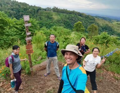
Day 1: The Ascent
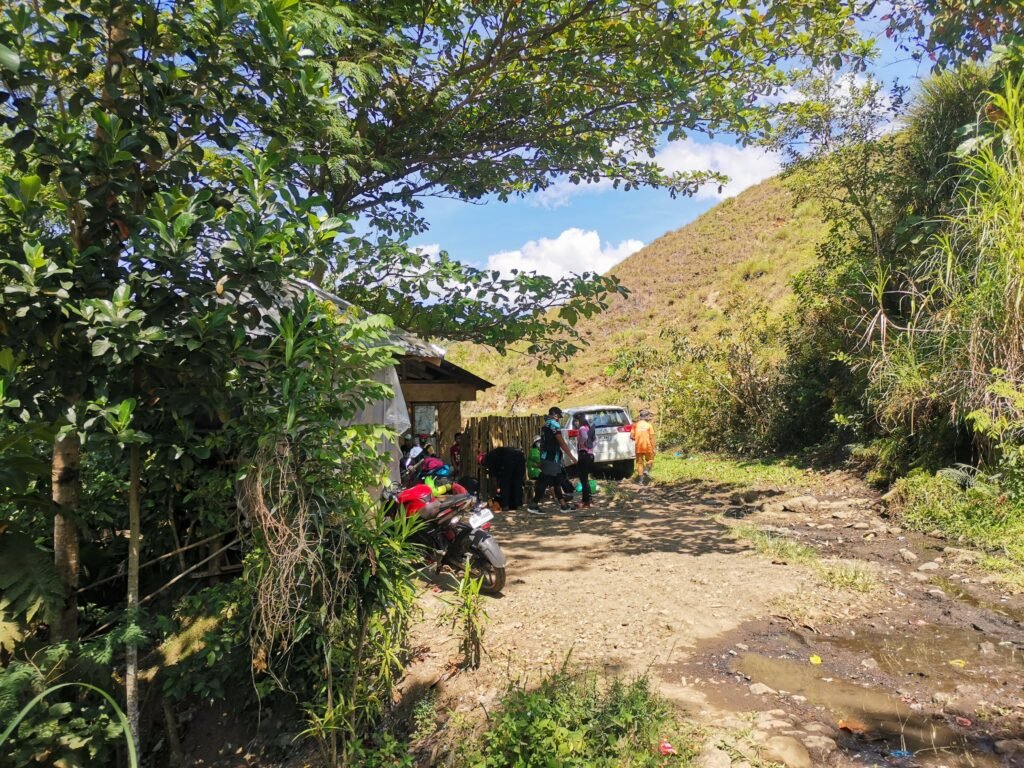
- 09:00 AM: Arrival at Impasug-ong Tourism / Jump-off.
- 11:00 AM: Start hike. Enjoy the views of the rolling hills.
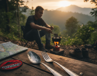
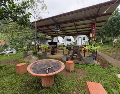
- 01:00 PM: Arrival at Mt. Kulago Campsite. Pitch tents under the trees.
- 04:30 PM: “Social Media Detox” – Enjoy the sunset and the lack of Wi-Fi.
- 07:00 PM: Dinner & Socials. (Keep the jacket handy—it gets cold!)
Day 2: The Summit and Side Trips
- 04:00 AM: Start trekking to the summit (1–2 hours).
- 05:30 AM: Arrival at Summit / Viewing Area. Witness the golden hour.
- 08:00 AM: Breakfast and Coffee at the campsite.
- 09:30 AM: Start trek toward Communal Ranch.
- 11:00 AM: ETA Jump-off (Optional: Take a habal-habal for ~₱200 to skip the midday heat).
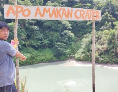
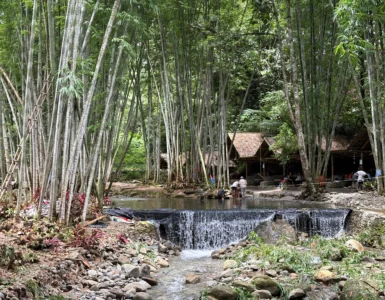
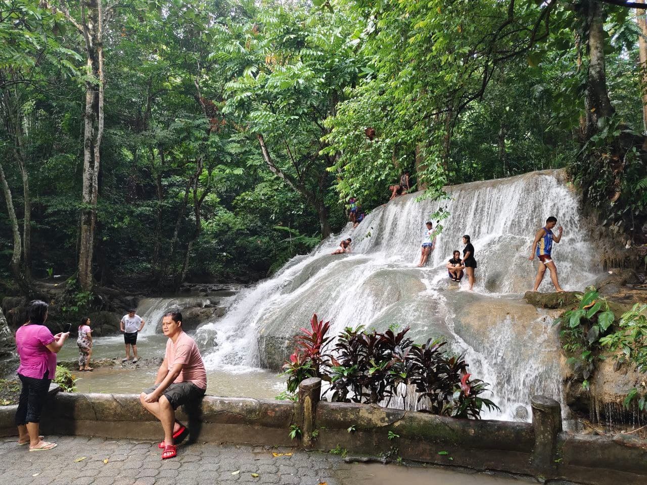
- 12:00 PM: Side trip to Cedar Falls for a refreshing cold plunge.
Pro-Tips for a Successful Hike
- Sun Protection: 90% of the trail is grassland. Use a hat, sunscreen, and an umbrella to combat the intense Bukidnon sun.
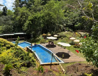
- Water Source: There is an abundant supply of water at the campsite.
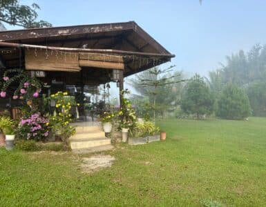
- Campsite Convenience: If you hike on a weekend, the small sari-sari store at the campsite might be open for basic supplies.
- The Habal-Habal Hack: On the return trip, if the heat is too punishing, you can often arrange a habal-habal ride near the Communal Ranch slope to take you back to the jump-off.
Frequently Asked Questions (FAQ)
Q: How tall is Mt. Kulago? A: Mt. Kulago has an elevation of 913 meters (2,995 feet) above sea level.
Q: Is it cold at Mt. Kulago? A: While the trail is hot during the day, the tree-covered campsite and the summit at dawn are very cold. Bring layers for the night.
Q: Is there a signal at the campsite? A: No. Expect a total digital detox. There is no Wi-Fi and limited cellular signal, providing a perfect opportunity to disconnect.
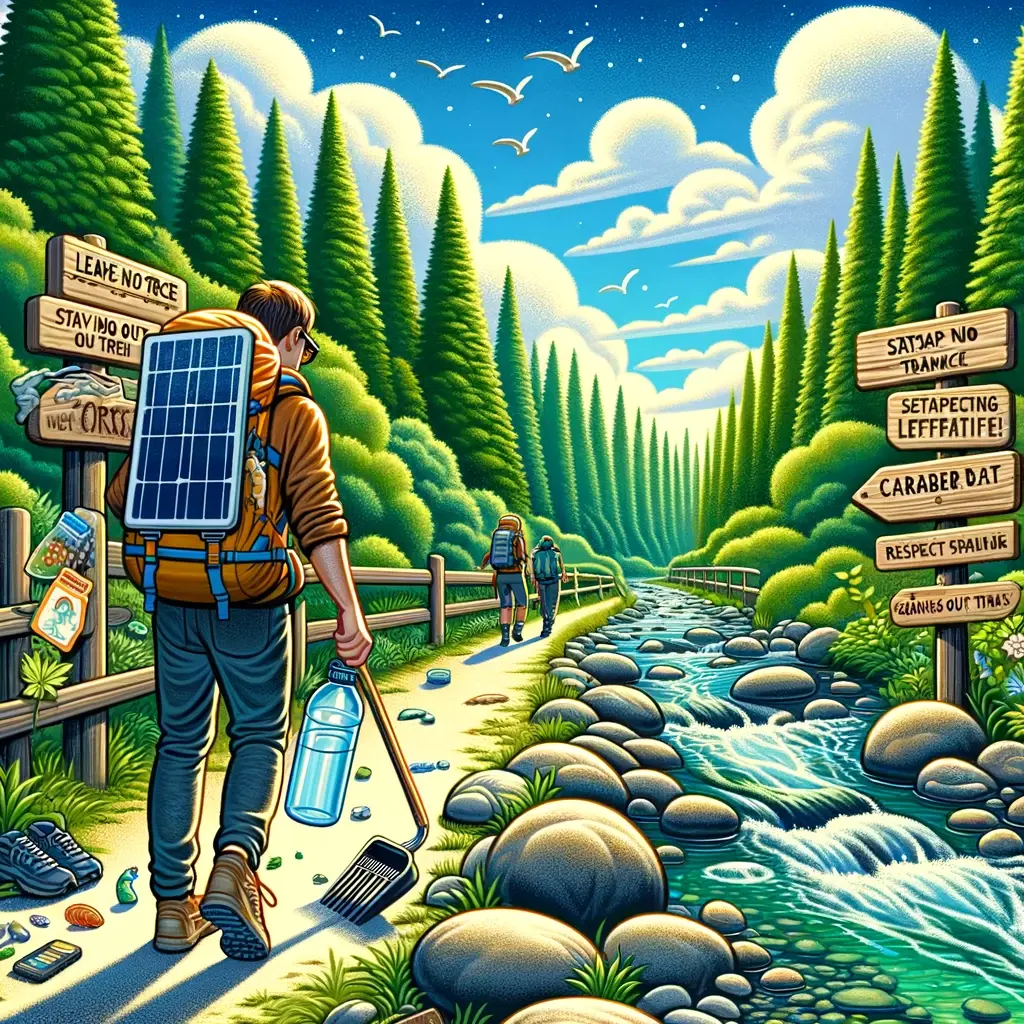
A Call for Conservation
Mt. Kulago is a sacred landscape for the local Higaonon community. Always follow the Leave No Trace (LNT) principles. Pack out all your trash and respect local customs.