 Dexter Priete
While Davao del Norte is widely celebrated for its coastal islands and lowland waterfalls, its interior highlands hold one of the region’s best-kept secrets. Created on January 29, 1991, under Republic Act No. 7081, the second-class municipality of Talaingod, formerly a part of Kapalong composed of Barangays Dagohoy, Palma Gil, and Santo Niño, is rapidly stepping into the eco-tourism spotlight.
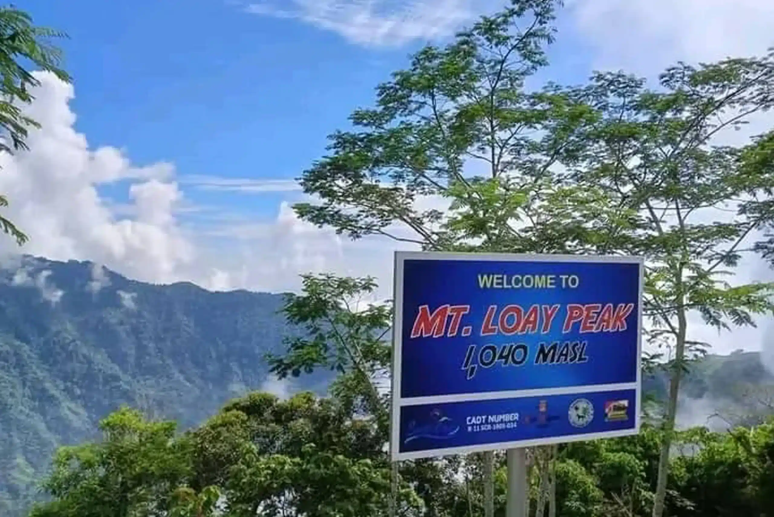
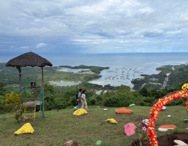
Though home to a modest population of 28,333 (2020 census), its high-altitude roads, cool tropical climate, and occasional oceans of mist have fueled a boom in roadside mountain resorts. At the literal apex of this rising destination sits the Talaingod View Deck. Perched at a high-wind peak, this destination is open to the public completely free of charge.
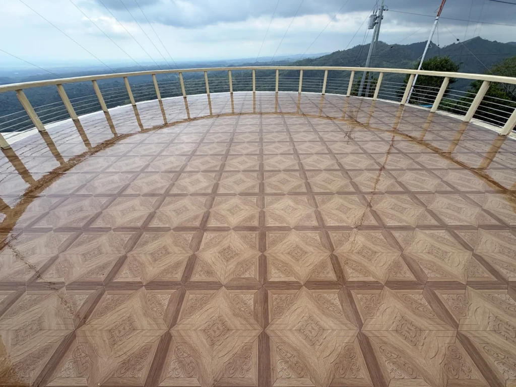
🏔️ Quick-Reference Visitor Matrix
| Category / Detail | Specification | Practical Field Notes |
| Location | Near Municipal Hall, Talaingod, Davao del Norte | Situated atop the highest ridge line above the town center |
| Entrance Fee | ₱0.00 (100% FREE) | Open to the public with no gates or fees |
| Primary Structure | Built-in “Lighthouse” Tower | Features a wide top deck with 360-degree views |
| Landmarks at Summit | Radio Transmission Tower | Distinct landmark visible from the highway |
| Walk Duration | ~10 Minutes | Easy walk from the municipal parking area |
| Trail Options | Regular Path vs. Risky Shortcut | Choice between a gradual walkway or a steep root-climb |
| Road Condition | Fully Cemented / Maintained | Smooth, paved mountain highway ascent |
| Parking Facility | Spacious Off-Street Parking | Located near the Municipal Hall grounds |
| Climate & Drone Setup | Cold, Foggy, Very Windy | Excellent for drone flying; bring windbreakers |
🚗 Navigation & Road Ascent
Reaching the Talaingod View Deck is a smooth, highly enjoyable drive along paved mountain highways.
[ Balimba Hills: Cliff's Cafe & Glass Bridge ] ──► [ Highway Ascent ] ──► [ Talaingod Municipal Hall ] ──► [ 10-Min Trek to View Deck ]
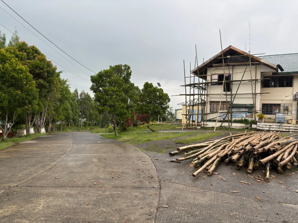
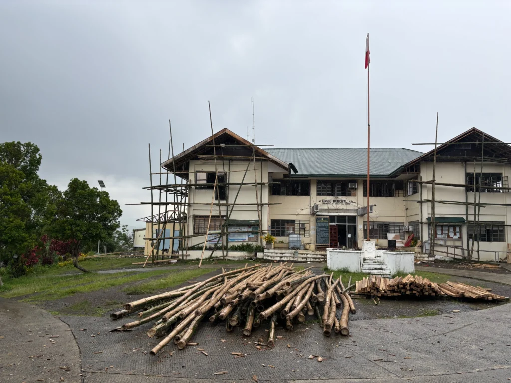
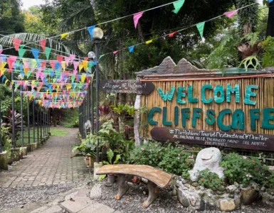
- The Highway Route: As you ascend into Talaingod, your route will first take you past famous roadside stops like Cliff’s Cafe and Gazebo Glass Bridge in Balimba Hills.
- The Municipal Waypoint: Continuing further along the well-maintained, cemented road ascent brings you directly to the Talaingod Municipal Hall (currently undergoing structural renovations).
- Parking Setup: Drivers can park comfortably in the spacious parking area near the municipal hall before transitioning to foot travel.
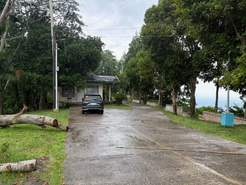
🥾 The Summit Trek: Regular Walkway vs. The Risky Shortcut
From the parking grounds, reaching the viewdeck requires roughly a 10-minute hike. Depending on your appetite for adventure, you can choose between two distinct foot trails:
                                      ┌──► [ Regular Path ] ────────► Safe & Gradual Walkway ─────┐
  [ Municipal Hall Parking Area ] ────┤                                                           ├──► [ Lighthouse Summit ]
                                      └──► [ Adventure Shortcut ] ──► Steep, Rocky, Root Scramble ┘
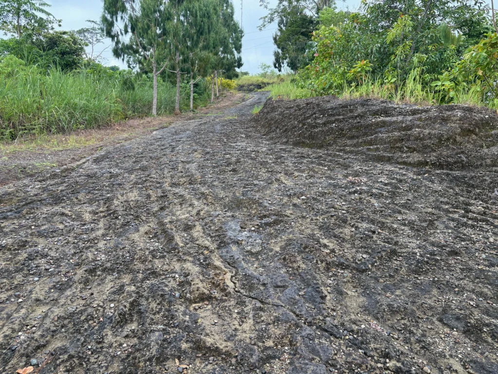
1. The Regular Path (Recommended)
The standard trail offers a safe, gradual, and fully accessible walk up the hill. It is well-suited for families, casual tourists, and anyone wearing basic footwear.
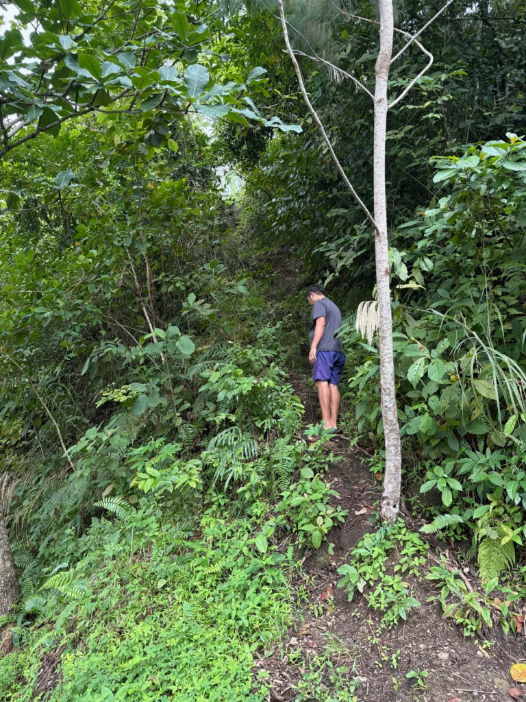
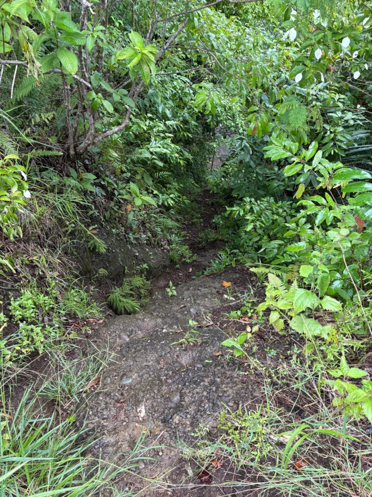
2. The Adventure Shortcut (Technical & Fast)
For hikers in a hurry or those looking for a quick thrill, a shortcut cuts directly through the middle of the hill.
⚠️ Trail Warning: While the shortcut cuts down on time, the final stretch near the top is steep, rocky, and slick. You must actively hold onto tree roots, twigs, and sharp rock edges to support your body weight. Choose this path only if you are wearing grippy shoes and want a quick adventure; otherwise, stick to the regular path.
🗼 The Lighthouse Structure, Radio Tower & 360° Panorama
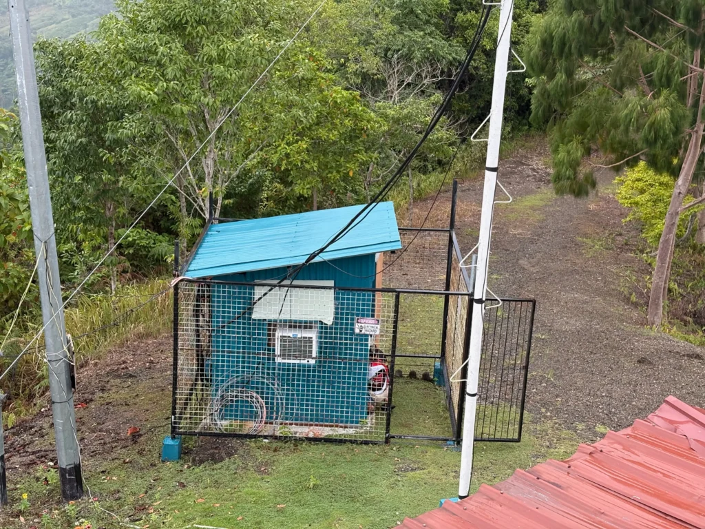
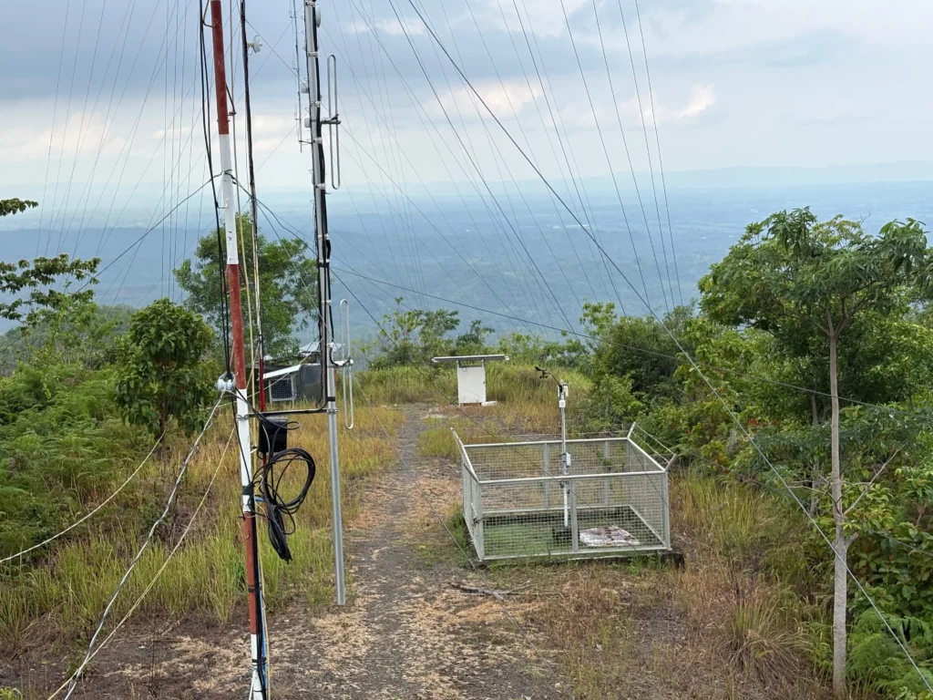
At the peak, you will find a prominent radio transmission tower standing beside the park’s main feature: a built-in, lighthouse-like structure.
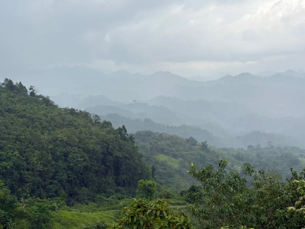
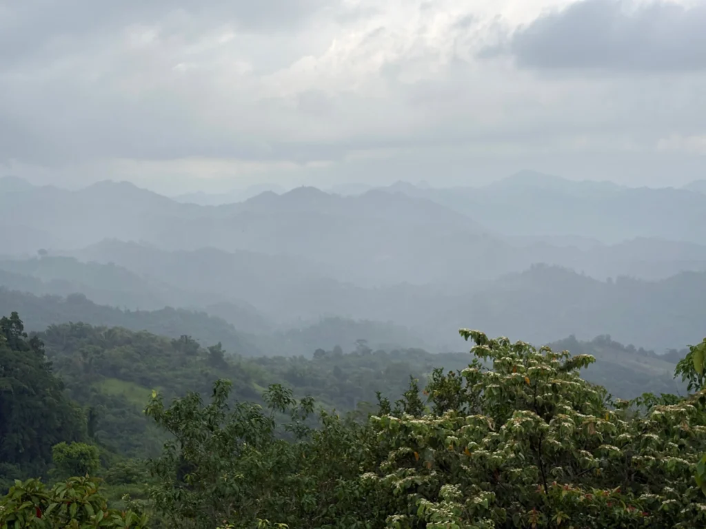
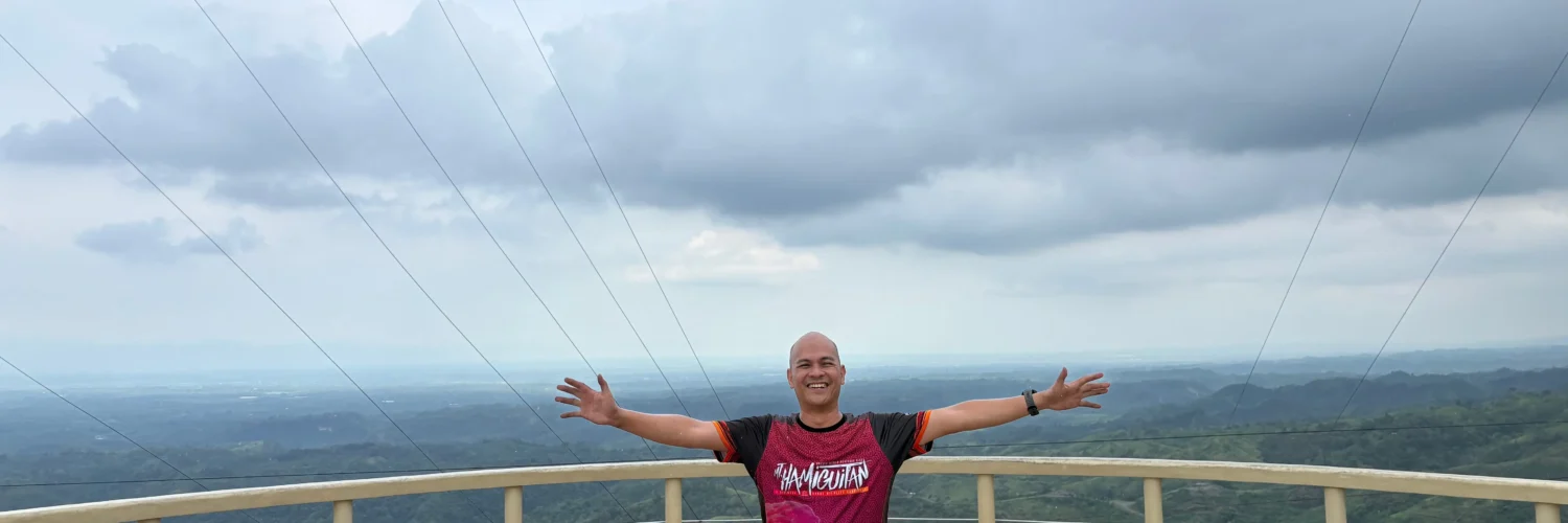
Ascending the steps of this lighthouse leads to a wide, open top deck that offers an incredible 360-degree panoramic view of Davao del Norte’s interior wilderness. From this platform, you can take in:
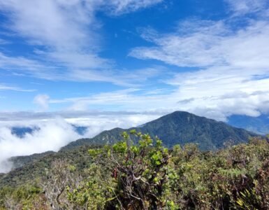
- Endless Mountain Ranges: Layers of green mountain peaks stretching toward the Bukidnon and Davao de Oro borders.
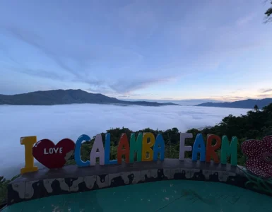
- Atmospheric Shifts: Drifting cloud canopies, rolling mountain fog, and cold highland crosswinds that keep the area intensely refreshing.
- Forests & Farmlands: A bird’s-eye view of lush mountain forests mixed with rural agricultural slopes.
- Drone Photography: The wide, unobstructed top platform provides an ideal launch and landing pad for aerial photography and drone flights.
During high-traffic periods, weekends, or public holidays, local community vendors set up stalls and small shops near the site, offering hot drinks, local snacks, and hand-crafted souvenirs.
🔄 Mapping Your Talaingod & New Corella Highland Loop
Because Talaingod sits along a major provincial artery, you can easily combine the viewdeck with surrounding attractions in Davao del Norte:
- Highland Ridge Stops: Pair your viewdeck trip with a glass-walk experience at Gazebo Glass Bridge & Cliff’s Cafe right down the road.
- Lowland Freshwater Cascades: As you head down toward the plains, complete your day trip by visiting the cold limestone steps of Panas Falls, the river trails at Waig Falls, the jungle basin of Gayas Falls, or the family setups at 6 World Adventure Park in New Corella.
For more honest, field-tested trail maps, budget logs, and secret destination guides across Mindanao, return to the Manakaay ug Bukid backcountry adventure blog to chart your next loop safely.











 Dxtrometorphan