Mt. Mantalingahan is a name spoken with a mixture of reverence and trepidation in the Philippine mountaineering community. Rising as the highest point in the province of Palawan, this mountain is far more than just a physical peak; it is a profound test of endurance, a biological sanctuary, and the sacred ancestral domain of the Palaw’an people. Understanding the depth of this “Rooftop of Palawan” is essential to capturing its true essence.
Geographic and Physical Profile
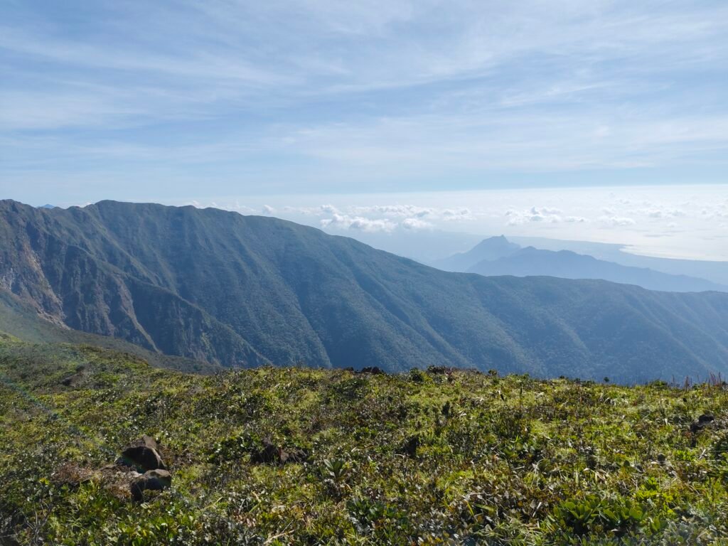
Mt. Mantalingahan stands at a commanding elevation of 2,086 meters above sea level. Located in Southern Palawan, its massive range stretches across the municipalities of Brooke’s Point, Rizal, Bataraza, Sofronio Española, and Quezon. It is the 10th most prominent mountain in the Philippines, a statistic that reflects its isolation and the dramatic rise of its slopes from the coastal plains.
In 2009, the area was officially designated as the Mt. Mantalingahan Protected Landscape (MMPL). Its global significance is further evidenced by its inclusion on the tentative list for UNESCO World Heritage status.
The Technical Challenge
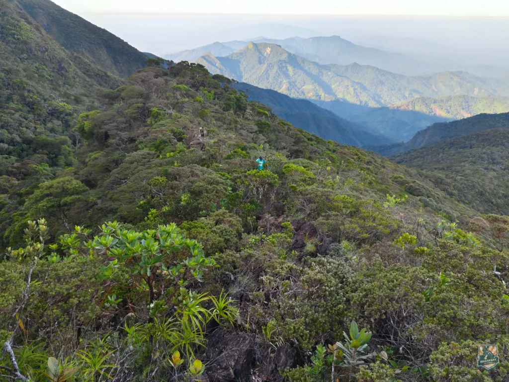
This mountain is widely considered one of the most difficult climbs in the country. It is categorized as a major climb, requiring a level of physical and mental preparation that few other peaks demand. The terrain is a relentless showcase of diversity, featuring dense lowland forests, mossy high-altitude woods, and the jagged, sharp rocks characteristic of ultramafic landscapes.
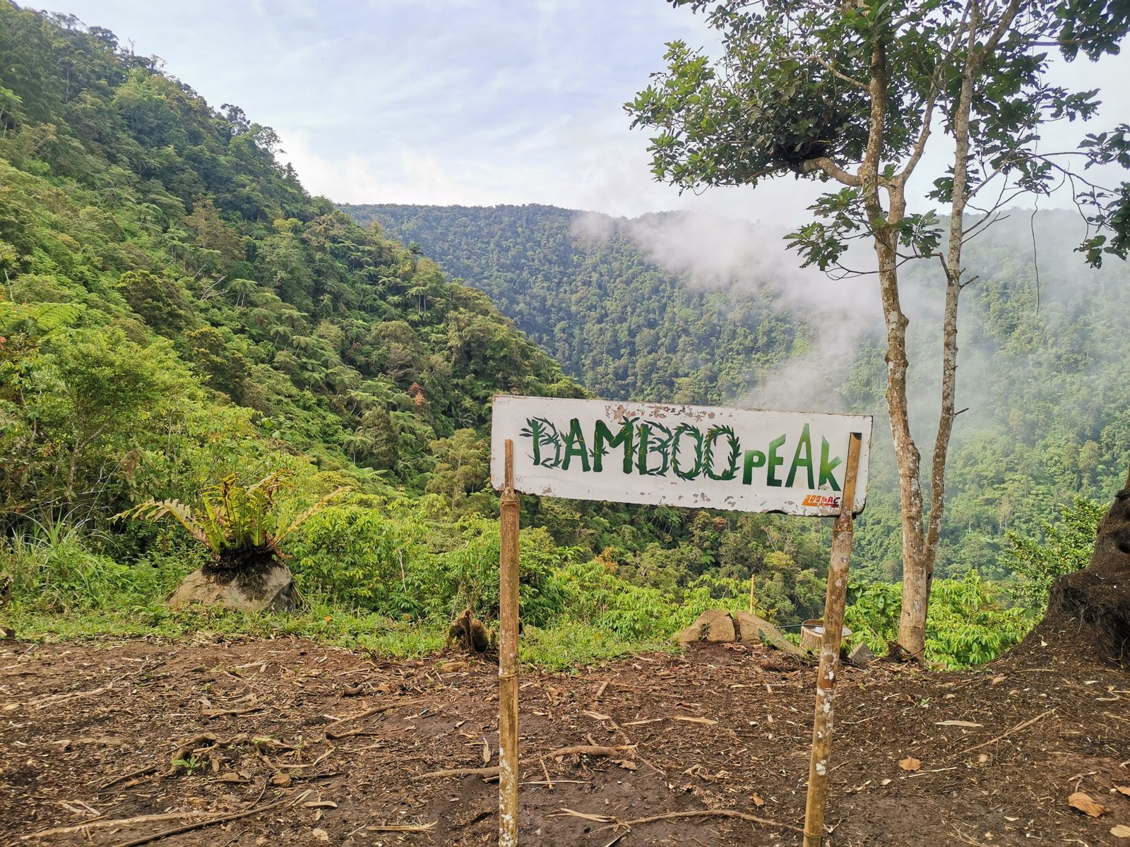
The most common expedition is the Traverse, which typically begins in Barangay Ransang, Rizal, and concludes in Barangay Malis, Brooke’s Point. This journey usually takes four to five days to complete. Key landmarks include the Paray-paray campsite and the grueling “Knife Edge,” a narrow, rocky ridge that leads toward the summit. Climbers must also navigate “monkey trails,” where the incline is so steep that hands are as necessary as feet.
A Biological Gold Mine
The ecological value of Mt. Mantalingahan is staggering. It is a key biodiversity area that serves as a sanctuary for numerous endemic species. In 2007, the Palawan soft-furred mountain rat was rediscovered here after being lost to science for 45 years.
The mountain is also home to unique flora, most notably the pitcher plant Nepenthes mantalingajanensis, which is found only on these slopes. Beyond its biological inhabitants, the mountain provides critical ecosystem services. It acts as a primary watershed for over 200,000 people and is valued at over $5.5 billion in terms of carbon sequestration and water provision.
Cultural Significance and the Tau’t Bato
The mountain is the ancestral home of the Palaw’an indigenous people. To the local communities, the mountain is not a recreational site but a sacred landscape. A notable subgroup is the Tau’t Bato, or “People of the Rock,” who reside in the Singnapan Basin. They are known for their traditional practice of living in caves during the monsoon season to protect themselves from the elements.
Climbers are expected to observe strict cultural protocols. This often involves seeking permission from tribal elders and respecting the mountain as a spiritual entity.
Health and Safety Considerations
A successful ascent requires more than just physical fitness. Southern Palawan is a malaria-endemic region. Trekkers are strongly advised to consult medical professionals regarding prophylaxis and to use high-quality mosquito repellents and fine-mesh nets.
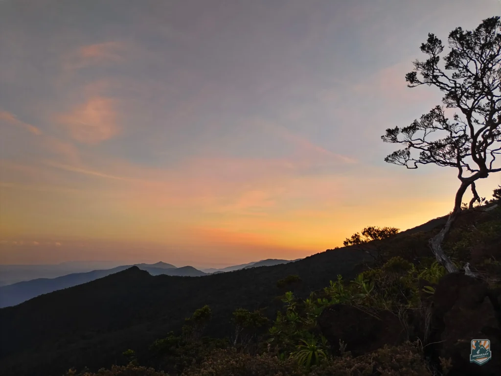
The weather is another factor; the best window for climbing is during the dry season, between February and May. During the rainy season, the trails become dangerously slick and the river crossings can become impassable flash floods.
Frequently Asked Questions
1. What is the difficulty level of Mt. Mantalingahan? It is considered one of the most difficult climbs in the Philippines, suitable only for experienced mountaineers due to its technical ridges and long duration.
2. How many days does the climb take? A standard traverse usually takes 4 to 5 days, though some slower-paced expeditions may take longer.
3. Is a guide required? Yes, hiring local guides is mandatory and essential for navigation and cultural coordination with the Palaw’an communities.
4. What is the best month to climb? The dry months of March and April are the most popular, as the technical “Knife Edge” becomes significantly more dangerous in wet or windy conditions.
5. Are there water sources on the trail? There are several water sources at established campsites like Paray-paray, but they can become limited during extreme dry spells.
Mt. Mantalingahan remains a frontier of Philippine mountaineering. It is a place where the rewards—unrivaled biodiversity and a deep sense of accomplishment—are equal to the immense effort required to reach its summit.