Mt. Apo: Complete Guide to the Highest Mountain in the Philippines
Ready to conquer Mt. Apo? This complete guide walks you through everything you need to know—routes, difficulty, permits, gear, and local tips for a safe and unforgettable hike.
Quick Facts About Mt. Apo
Location: Davao del Sur and Cotabato, Mindanao
• Height: 2,954 meters above sea level
• Status: Tallest mountain in the Philippines
• Hiking Difficulty: Moderate to difficult (multi-day)
• Best Months to Hike: November to May (dry season)
Mount Apo is a bucket-list climb for many local and international hikers. As the Philippines’ highest peak, it’s known for its stunning views, rich biodiversity, sacred tribal lands, and challenging but rewarding trails.
Where Is Mt. Apo Located?
Mt. Apo straddles Davao del Sur and Cotabato provinces on the island of Mindanao. It spans multiple municipalities, but the most common jump-off points are:
– Kapatagan Trail – Digos City, Davao del Sur
– Kidapawan Trail – North Cotabato
– Tamayong Trail – Calinan, Davao City
– Sta. Cruz Trail – Brgy. Sibulan, Sta. Cruz
– Bansalan Trail, Davao del Sur
Each trail has varying terrain, elevation gain, and difficulty. All require proper preparation and a registered local guide.
Why Climb Mt. Apo?
Aside from the prestige of summiting the tallest mountain in the country, Mt. Apo offers:
– Expansive forests and grasslands
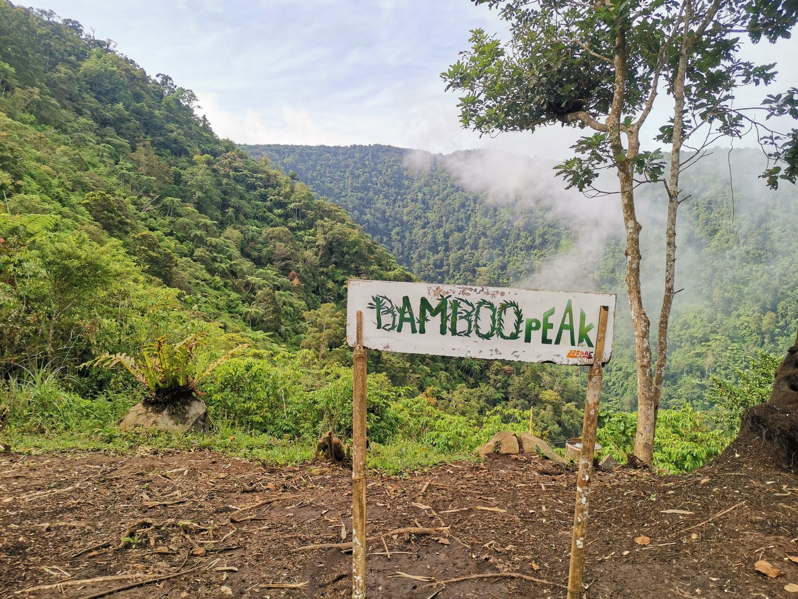
– The majestic Lake Venado, a crater lake near the summit
– Volcanic boulder fields and sulfur vents
– Views of Mindanao’s major mountain ranges
– A chance to spot the Philippine Eagle in its natural habitat
– Cultural exposure to Lumad and Bagobo tribes
How to Prepare for Your Mt. Apo Hike
1. Get Physically Ready
Mt. Apo is not a walk in the park. You’ll be hiking for 2–3 days across multiple terrains. Start training with cardio, leg workouts, and dayhikes 1–2 months before your climb.
2. Secure a Permit
Climbs are regulated by local LGUs and tourism offices. Each trail requires:
– Environmental fee (₱500–₱1,000 depending on trail)
– Coordination with the tourism office (e.g., Sta. Cruz, Digos, or Kidapawan)
– Registered and accredited local guides
– Pre-climb orientation
Pro tip: Book your slot at least 3–4 weeks in advance during peak season (December to March).
3. Pack the Right Gear
Essentials:
– 40–50L hiking backpack
– Tent + sleeping bag
– Lightweight jacket + rain gear
– Trekking shoes or boots
– Headlamp + extra batteries
– 3L water + hydration system
– Food good for 3 days
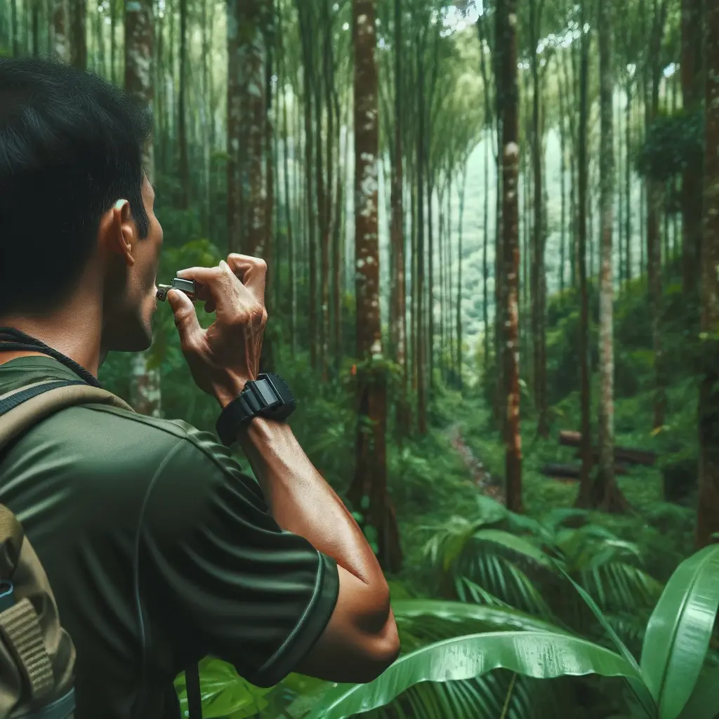
– Personal meds, whistle, and trail snacks
Optional but helpful:
– Trekking poles, gaiters, dry bag, power bank
4. Know the Trails
Each trail offers a unique experience. Here’s a quick comparison:
🧭 Trail Comparison Table
|
Trail |
Entry Point |
Duration |
Difficulty |
Terrain Highlights |
Traverse Option |
|
Kapatagan |
Digos City, Davao del Sur |
2–3 days |
Moderate–Hard |
Sulfur vents, Boulders section |
✅ Yes |
|
Kidapawan |
North Cotabato |
2–3 days |
Moderate |
Hot springs, waterfalls, riverbeds |
✅ Yes |
|
Tamayong |
Calinan, Davao City |
3 days |
Hard |
Dense forest, steep inclines |
⚠️ Rare |
|
Sta. Cruz |
Brgy. Sibulan, Sta. Cruz |
2–3 days |
Moderate |
Scenic forest, Lake Venado access |
✅ Yes |
|
Bansalan |
Bansalan, Davao del Sur |
2–3 days |
Moderate |
Forested route, Lake Venado access |
✅ Yes |
Sample 3-Day Itinerary (Sta. Cruz Trail)
Day 1: Registration → Brgy. Sibulan → Tinikaran Campsite
Day 2: Tinikaran → Boulder section → Summit → Lake Venado
Day 3: Lake Venado → Descend via same or exit trail (optional traverse)
Registration & LGU Requirements
Depending on your entry point, registration may take place in:
– Sta. Cruz Tourism Office (for Sibulan trail)
– Digos City Tourism Office (for Kapatagan)
– Kidapawan Tourism Office
Pre-registration forms, waivers, and environmental compliance are mandatory.
NOTE: All trails are guide-mandatory, especially post-pandemic.
Best Time to Climb Mt. Apo
– Best Months: November to May
– Avoid: Rainy season (July–October) due to landslides, leeches, and poor visibility
Book early during holidays and Holy Week, as climbs are limited per day.
Important Reminders for First-Time Hikers
– Leave no trace. Mt. Apo is a protected natural park.
– Respect cultural boundaries. The mountain is sacred to indigenous communities.
– Train physically. Don’t underestimate the difficulty.
– Stay hydrated and bring electrolytes.
– Always listen to your guide.
FAQ: Hiking Mt. Apo
Q: How tall is Mt. Apo?
A: 2,954 meters above sea level, making it the tallest peak in the Philippines.
Q: Is Mt. Apo suitable for beginners?
A: It’s more appropriate for physically fit hikers with some experience. Beginners should try local dayhikes first.
Q: Can I hike Mt. Apo solo?
A: No. Guides are required by all LGUs. Hiking solo is not permitted for safety reasons.
Q: How many days does it take to hike Mt. Apo?
A: Most climbs take 2–3 days depending on trail and weather conditions.
Q: Is Mt. Apo an active volcano?
A: Technically yes, but it has not erupted in recorded history and is considered dormant.
🔗 Suggested Links
Mt. Apo Travel Guide Final Thoughts
Climbing Mt. Apo is a life-changing experience—but it’s not one to take lightly. Preparation, proper guidance, and physical readiness are all part of the journey. Take your time, plan smart, and you’ll be rewarded with panoramic views, mountain solitude, and a story worth telling.
Ready for your first summit? Kaya na Manakaay ug Bukid!